Bromsgrove
Bromsgrove/26/00631/S211
22 Cherry Hill Road Barnt Green Worcestershire B45 8LJ
- Reference
- Bromsgrove/26/00631/S211
- Authority
- Bromsgrove
- Application type
- S
- Address
- 22 Cherry Hill Road Barnt Green Worcestershire B45 8LJ
- Postcode
- B45 8LJ
- Status
- Application Granted
- Decision
- Trees Granted
- Received
- 27 May 2026
- Validated
- 27 May 2026
- Started
- 27 May 2026
- Decided
- 4 Jun 2026
- Source council
- Bromsgrove
- Council source record
- View public record
- Public data licence
- Open Government Licence v3.0
- Record updated
- 18 Jul 2026
- SEO index generated
- 24 Jul 2026
Location
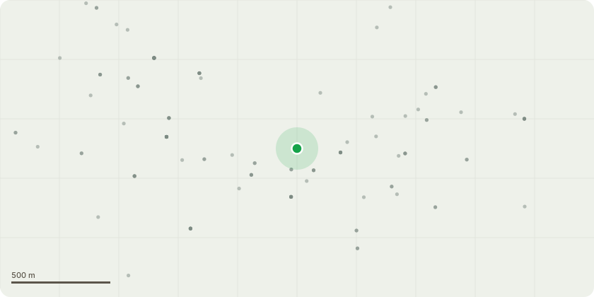
Approximate location
Proposal
House and gardens have been left to overtake grounds, we are looking at removing a number of trees within boundaries of property in order to help our client re landscape gardens and introduce more suitable trees within. G1 area containing Birch and catoneaster, removal to allow for new fencing and landscaping T1-T2 oak small oaks to be removed 1 has heavy squirral damage T3 ash fell, heavy lean and signs of dieback T4 ash fell, signs of die back G2 clump of birch and prunus possibly self set fell T5 Oak Dead wood entire crown T6 Oak monolith to a 15ft stem, tree is in heavy decline, adjacent to public footway. G3 ash and conifer fell, trees in poor form, remove to replant area T7 ash fell, self set tree G4 fell group, entrance to public walkway, hedging to be replanted in place T8 Beech fell. poor form tree with old fungal wound and squirrel damage T9 holly fell, heavy lean tree, fell and leave adjacent straighter tree T11 smaller conifer fell poor form tree T13 Copper Beech, removal of dead wood, lift toi 5mtrs over rd, and prune out of BT wires. I am happy meeting with TO on site as a very busy garden at the moment so i can point out what we intend to do. and the plan moving forward.
Key dates
- Received 27 May 2026
- Validated 27 May 2026
- Started 27 May 2026
- Decided 4 Jun 2026
Planning history / related applications
No related planning applications have been identified in the current public OGL dataset.
Inside plotEdge
Go beyond the public record
This page is the public OGL record. plotEdge adds the private intelligence layer for this site - open it in the app to unlock:
- Ownership & title Registered owner and title from HM Land Registry.
- Viability & build potential Site scoring and development upside.
- Constraints Flood risk, green belt, conservation areas and designations.
- Approval signal Planning risk and approval-likelihood analysis.
- Comparable applications Decisions on similar nearby sites, side by side.
- Status alerts Get notified the moment this application changes.
Source: public planning application data from Bromsgrove, reused under the Open Government Licence v3.0. View the council source record. Council documents and drawings are not republished on plotEdge.