Bromsgrove
Bromsgrove/26/00595/S211
Hagley Hall Hall Lane Hagley Worcestershire DY9 9LG
- Reference
- Bromsgrove/26/00595/S211
- Authority
- Bromsgrove
- Application type
- S
- Address
- Hagley Hall Hall Lane Hagley Worcestershire DY9 9LG
- Postcode
- DY9 9LG
- Status
- Pending Consideration
- Received
- 29 Jun 2026
- Started
- 29 Jun 2026
- Source council
- Bromsgrove
- Council source record
- View public record
- Public data licence
- Open Government Licence v3.0
- Record updated
- 18 Jul 2026
- SEO index generated
- 24 Jul 2026
Location
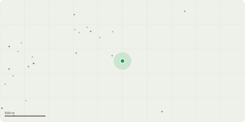
Approximate location
Proposal
dentification and Description of Proposed Tree WorksPlease refer to the attached site plan identifying the trees subject to the proposed works.Tree references 1-9 comprise mixed broadleaf species including oak, walnut and beech located around the cricket ground. Tree references 11 and 12 are also broadleaf trees requiring crown lifting works. Tree reference 10 is the lime tree located adjacent to the pavilion/clubhouse.The proposed works comprise crown lifting to all identified broadleaf trees surrounding the cricket ground, as discussed during the site visit.Works to include:Crown lifting by means of secondary pruning only.Removal of secondary growth and lower subsidiary branches to raise the canopy height to approximately 4.2 metres above ground level.In some locations, canopy clearance may be increased to approximately 5.2 metres where necessary to allow suitable access and egress around the site.No primary limbs to be removed unless specifically discussed on site.Additional works to Tree 10 (lime tree adjacent to the pavilion/clubhouse):Secondary pruning only to crown lift branches overhanging the building.Selected lateral growth to be reduced to decrease end weight by approximately 2.5 metres.All works to be carried out in accordance with good arboricultural practice and BS3998:2010 Tree Work Recommendations.
Key dates
- Received 29 Jun 2026
- Started 29 Jun 2026
Planning history / related applications
No related planning applications have been identified in the current public OGL dataset.
Inside plotEdge
Go beyond the public record
This page is the public OGL record. plotEdge adds the private intelligence layer for this site - open it in the app to unlock:
- Ownership & title Registered owner and title from HM Land Registry.
- Viability & build potential Site scoring and development upside.
- Constraints Flood risk, green belt, conservation areas and designations.
- Approval signal Planning risk and approval-likelihood analysis.
- Comparable applications Decisions on similar nearby sites, side by side.
- Status alerts Get notified the moment this application changes.
Source: public planning application data from Bromsgrove, reused under the Open Government Licence v3.0. View the council source record. Council documents and drawings are not republished on plotEdge.