Bromsgrove
Bromsgrove/25/01178/S211
22 Fiery Hill Road Barnt Green Worcestershire B45 8LG
- Reference
- Bromsgrove/25/01178/S211
- Authority
- Bromsgrove
- Application type
- S
- Address
- 22 Fiery Hill Road Barnt Green Worcestershire B45 8LG
- Postcode
- B45 8LG
- Status
- Unknown
- Decision
- No Objection
- Received
- 15 Oct 2025
- Validated
- 15 Oct 2025
- Started
- 15 Oct 2025
- Decided
- 17 Oct 2025
- Source council
- Bromsgrove
- Council source record
- View public record
- Public data licence
- Open Government Licence v3.0
- Record updated
- 18 Jul 2026
- SEO index generated
- 24 Jul 2026
Location
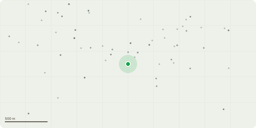
Approximate location
Proposal
1. Hawthorn sapling self seeded within front perimeter hedge next to pavement. When in leaf, this small tree obscures driver visibility ofelectronic speed camera/speed warning sign installed by Highways dept in 2024 to attempt to curtail excess speeding following a number of road collisions. 2. Common Holly, poor specimen with few leaf and bifurcated trunk, one arm leaning towards the highway - concern that this arm may fall onto pavement /road.Both of these trees obscure/interfere with spread of a much older Yew within the garden boundary.Permission is requested to lower the hawthorn to boundary hedge height and the holly to ground level.
Key dates
- Received 15 Oct 2025
- Validated 15 Oct 2025
- Started 15 Oct 2025
- Decided 17 Oct 2025
Planning history / related applications
No related planning applications have been identified in the current public OGL dataset.
Inside plotEdge
Go beyond the public record
This page is the public OGL record. plotEdge adds the private intelligence layer for this site - open it in the app to unlock:
- Ownership & title Registered owner and title from HM Land Registry.
- Viability & build potential Site scoring and development upside.
- Constraints Flood risk, green belt, conservation areas and designations.
- Approval signal Planning risk and approval-likelihood analysis.
- Comparable applications Decisions on similar nearby sites, side by side.
- Status alerts Get notified the moment this application changes.
Source: public planning application data from Bromsgrove, reused under the Open Government Licence v3.0. View the council source record. Council documents and drawings are not republished on plotEdge.