Bromsgrove
Bromsgrove/25/00480/S211
Malt Cottage 8 Church Hill Belbroughton Worcestershire DY9 0DT
- Reference
- Bromsgrove/25/00480/S211
- Authority
- Bromsgrove
- Application type
- S
- Address
- Malt Cottage 8 Church Hill Belbroughton Worcestershire DY9 0DT
- Postcode
- DY9 0DT
- Status
- Unknown
- Decision
- No Objection
- Received
- 16 Apr 2025
- Validated
- 17 Apr 2025
- Started
- 17 Apr 2025
- Decided
- 12 May 2025
- Source council
- Bromsgrove
- Council source record
- View public record
- Public data licence
- Open Government Licence v3.0
- Record updated
- 18 Jul 2026
- SEO index generated
- 24 Jul 2026
Location
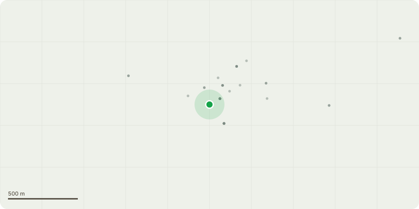
Approximate location
Proposal
Network Plus is a tier one contractor who works on behalf of our contract partners National Grid Electricity Distributions to identify the vegetation management required to be undertaken in the Belbroughton and wider area. The tree we have identified is one that is currently overhanging the 11kV powerline owned by NGED. The tree is a large Scotts Pine in a landowners garden who has previously applied for TPO consent and it has been granted, however the work did no go ahead, therefore we're applying again to undertake the work ourselves as Network Plus. Our trained Arborist team are looking to make minimum vegetation removal of the limb of the tree that is currently underhanging and that is all. Arborist teams on site also have certified UA2.1/ UA302 which includes a basic knowledge of flora and fauna types and the avoidance and procedures around invasive and protected species.
Key dates
- Received 16 Apr 2025
- Validated 17 Apr 2025
- Started 17 Apr 2025
- Decided 12 May 2025
Planning history / related applications
No related planning applications have been identified in the current public OGL dataset.
Inside plotEdge
Go beyond the public record
This page is the public OGL record. plotEdge adds the private intelligence layer for this site - open it in the app to unlock:
- Ownership & title Registered owner and title from HM Land Registry.
- Viability & build potential Site scoring and development upside.
- Constraints Flood risk, green belt, conservation areas and designations.
- Approval signal Planning risk and approval-likelihood analysis.
- Comparable applications Decisions on similar nearby sites, side by side.
- Status alerts Get notified the moment this application changes.
Source: public planning application data from Bromsgrove, reused under the Open Government Licence v3.0. View the council source record. Council documents and drawings are not republished on plotEdge.