Bromsgrove
Bromsgrove/25/00427/S211
The Tower House Priory Road Dodford Worcestershire B61 9DF
- Reference
- Bromsgrove/25/00427/S211
- Authority
- Bromsgrove
- Application type
- S
- Address
- The Tower House Priory Road Dodford Worcestershire B61 9DF
- Postcode
- B61 9DF
- Status
- Application Granted
- Decision
- Trees Granted
- Received
- 1 Apr 2025
- Validated
- 1 Apr 2025
- Started
- 1 Apr 2025
- Decided
- 28 May 2025
- Source council
- Bromsgrove
- Council source record
- View public record
- Public data licence
- Open Government Licence v3.0
- Record updated
- 18 Jul 2026
- SEO index generated
- 24 Jul 2026
Location
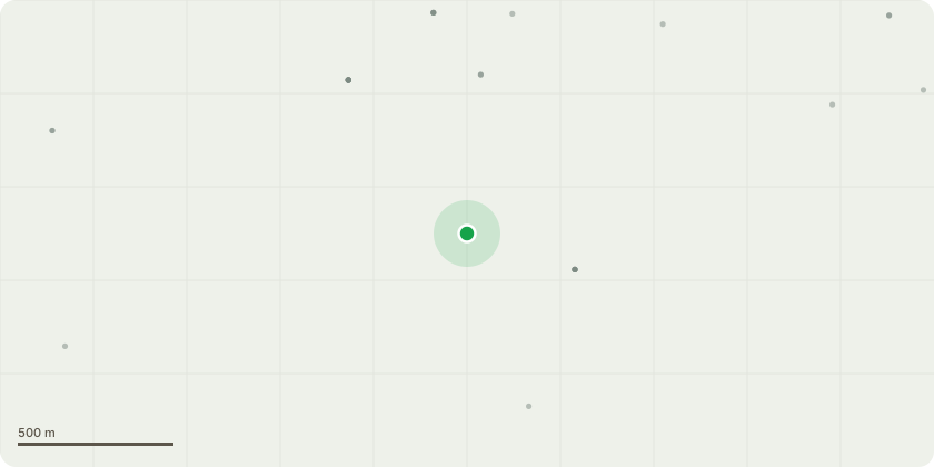
Approximate location
Proposal
We wish to fell the current over mature larch to prevent any damage to buildings nearby (Holy Trinity and St Mary's Church - listed) and to enable the woodland area to thrive. The larch were planted when The Tower House was built 1907 - it is therefore widely accepted that the larch have come to the end of their lifespan. With the increase in high winds, some of the trees are showing signs of stress and weakness. There are already a significant number of Yews, self planted within the wood as well as Ash and Oak, coming through. We wish to let the wood regenerate.We counted 82 larch that are still standing within in woodlands and driveway of The Tower House. We will be appointing Gary Gartland, a qualified arborist to complete any works once all necessary permissions are given. The wooded area is shown on the OS map attached, within the green The trees are within the conservation area, hence requesting permission.The young native trees already within the wood will then be able to thrive, if there is space for additional planting, then further native trees will be introduced, we already have some ash saplings, oak and others.
Key dates
- Received 1 Apr 2025
- Validated 1 Apr 2025
- Started 1 Apr 2025
- Decided 28 May 2025
Planning history / related applications
No related planning applications have been identified in the current public OGL dataset.
Inside plotEdge
Go beyond the public record
This page is the public OGL record. plotEdge adds the private intelligence layer for this site - open it in the app to unlock:
- Ownership & title Registered owner and title from HM Land Registry.
- Viability & build potential Site scoring and development upside.
- Constraints Flood risk, green belt, conservation areas and designations.
- Approval signal Planning risk and approval-likelihood analysis.
- Comparable applications Decisions on similar nearby sites, side by side.
- Status alerts Get notified the moment this application changes.
Source: public planning application data from Bromsgrove, reused under the Open Government Licence v3.0. View the council source record. Council documents and drawings are not republished on plotEdge.