Bromley
Bromley/25/02006/TREE
Parkmore, Wilderness Road, Chislehurst, BR7 5HA
- Reference
- Bromley/25/02006/TREE
- Authority
- Bromley
- Application type
- Notification of proposed works to trees in a conservation area
- Address
- Parkmore, Wilderness Road, Chislehurst, BR7 5HA
- Postcode
- BR7 5HA
- Status
- Decision Made
- Received
- 29 May 2025
- Started
- 29 May 2025
- Source council
- Bromley
- Council source record
- View public record
- Public data licence
- Open Government Licence v3.0
- Record updated
- 12 Jul 2026
- SEO index generated
- 24 Jul 2026
Location
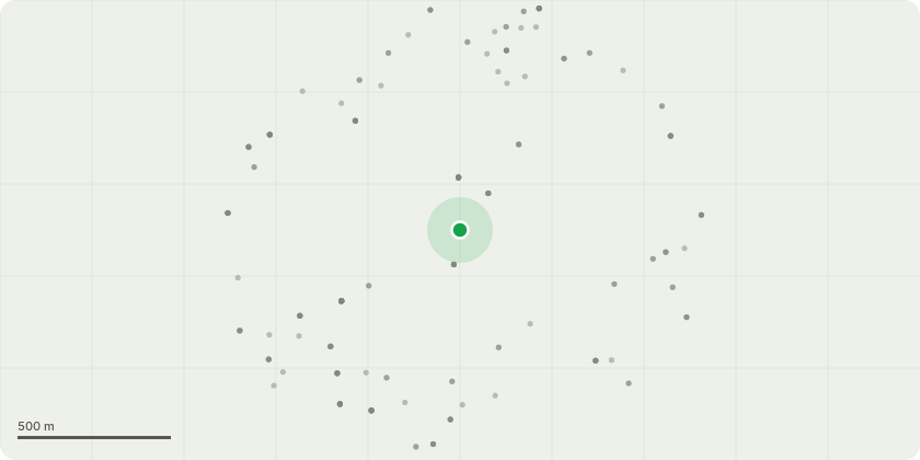
Approximate location
Proposal
G1 Mixed (Cherry, Holly, Holm Oak, Fuchsia saplings') - Reduce only the crown lateral spread of the subject Cherry overhanging the rear drive area by approx. 1.5m. Sever at the subject Ivy at base and remove from entire tree. Reduce height to hedge the subject self-set saplings, to an even level of approx. 1.2m above ground.T2 Blue Spruce - Lift low crown evenly to provide a 4m clearance above ground by the removal of scaffold branches back to source. Sever Ivy at base of main stem and remove a 0.5m width section from around the circumference of the stem to kill off subject Ivy.T3 Laburnum - Reduce the main to approx. 1.5m above ground to form a safe Coppard. Lift low crown evenly of the adjacent semi-mature Holly to provide a 2m clearance above ground by the removal of scaffold branches back to source. Coppice to approx.0.5m above ground the Cherry Laurel and Holly self-set saplings located to front of the subject tree.T4 Cherry - Sever the subject Ivy at base and remove from entire tree. Coppice to approx.0.5m above ground the established Forsythia and Philadelphus located within the crown spread of the subject tree and adjacent established Camelia.T5 Cherry - Fell to near ground level.T6 Cherry - Sever at the subject Ivy at base and remove from entire tree. Cut down the adjacent established dead Philadelphus. Coppice to approx.0.5m above ground the established Holly self-set saplings located to front of the subject tree.T7 Cherry - Fell to near ground level.T8 Beech - Reduce back to first lateral above ground level.T9 Dead stem (unidentifiable) on rear perimeter boundary at end of border - Fell from ground to near ground level. H10 Yew owned by adjoining neighbouring property - Cut the remnants from previous pruning operations of the outer side face, back to main stems.
Key dates
- Received 29 May 2025
- Started 29 May 2025
Planning history / related applications
No related planning applications have been identified in the current public OGL dataset.
Inside plotEdge
Go beyond the public record
This page is the public OGL record. plotEdge adds the private intelligence layer for this site - open it in the app to unlock:
- Ownership & title Registered owner and title from HM Land Registry.
- Viability & build potential Site scoring and development upside.
- Constraints Flood risk, green belt, conservation areas and designations.
- Approval signal Planning risk and approval-likelihood analysis.
- Comparable applications Decisions on similar nearby sites, side by side.
- Status alerts Get notified the moment this application changes.
Source: public planning application data from Bromley, reused under the Open Government Licence v3.0. View the council source record. Council documents and drawings are not republished on plotEdge.