Bromley
Bromley/20/03881/RECON
Coleridge House, 79 Bromley Road, Beckenham, BR3 5PA
- Reference
- Bromley/20/03881/RECON
- Authority
- Bromley
- Application type
- Removal/variation of conditions
- Address
- Coleridge House, 79 Bromley Road, Beckenham, BR3 5PA
- Postcode
- BR3 5PA
- Status
- Decision Made
- Received
- 25 Mar 2024
- Started
- 25 Mar 2024
- Source council
- Bromley
- Council source record
- View public record
- Public data licence
- Open Government Licence v3.0
- Record updated
- 18 Jul 2026
- SEO index generated
- 24 Jul 2026
Location
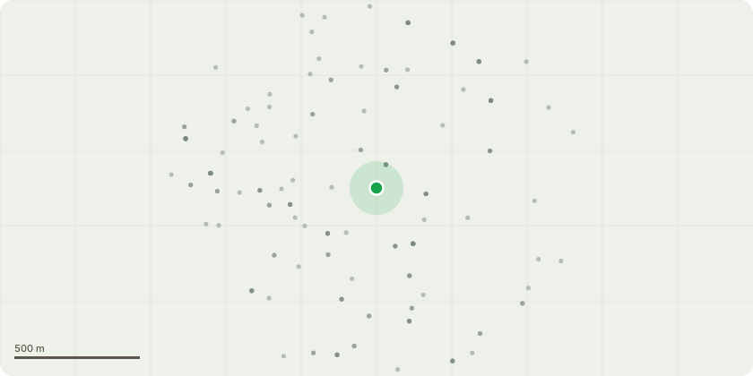
Approximate location
Proposal
Under Section 73 of the Town and Country Planning Act 1990, variation of Condition 2 of planning permission 20/03881/FULL1 dated 25.02.2022 for (Demolition of existing buildings (79 and 79A Bromley Road) and construction of new building over lower ground, ground, first, second and third floors to provide 27 Class C3 (residential) units, provision of car parking, landscaping and associated works) to allow for alterations including: elevational and roof alterations, increase in basement footprint, erection of ventilation structure to basement car park, internal layout alterations to the flats, alterations to unit mix of flats, and submission of condition details:Condition 8 - Tree PlantingCondition 9 - Boundary TreatmentsCondition 10 - Refuse storageCondition 11 - Cycle parkingCondition 12 - Highway DrainageCondition 13 - Service and Delivery Plan (during construction)Condition 14 - Noise attenuation (acoustic glazing)Condition 15 - Ventilation/Heat Recovery System (VHRS)Condition 18 - Electric Vehicle Charging PointsCondition 19 - Existing highway access Stopping UpCondition 20 - Car Park Management SchemeCondition 21 - Secure by DesignCondition 22 - Ecological Enhancements
Key dates
- Received 25 Mar 2024
- Started 25 Mar 2024
Planning history / related applications
No related planning applications have been identified in the current public OGL dataset.
Inside plotEdge
Go beyond the public record
This page is the public OGL record. plotEdge adds the private intelligence layer for this site - open it in the app to unlock:
- Ownership & title Registered owner and title from HM Land Registry.
- Viability & build potential Site scoring and development upside.
- Constraints Flood risk, green belt, conservation areas and designations.
- Approval signal Planning risk and approval-likelihood analysis.
- Comparable applications Decisions on similar nearby sites, side by side.
- Status alerts Get notified the moment this application changes.
Source: public planning application data from Bromley, reused under the Open Government Licence v3.0. View the council source record. Council documents and drawings are not republished on plotEdge.