Bromley
Bromley/16/03145/RECON
South Suburban Co Op Society, Balmoral Avenue, Beckenham, BR3 3RD
- Reference
- Bromley/16/03145/RECON
- Authority
- Bromley
- Application type
- Removal/variation of conditions
- Address
- South Suburban Co Op Society, Balmoral Avenue, Beckenham, BR3 3RD
- Postcode
- BR3 3RD
- Status
- Decision Made
- Received
- 21 Mar 2025
- Started
- 21 Mar 2025
- Source council
- Bromley
- Council source record
- View public record
- Public data licence
- Open Government Licence v3.0
- Record updated
- 12 Jul 2026
- SEO index generated
- 24 Jul 2026
Location
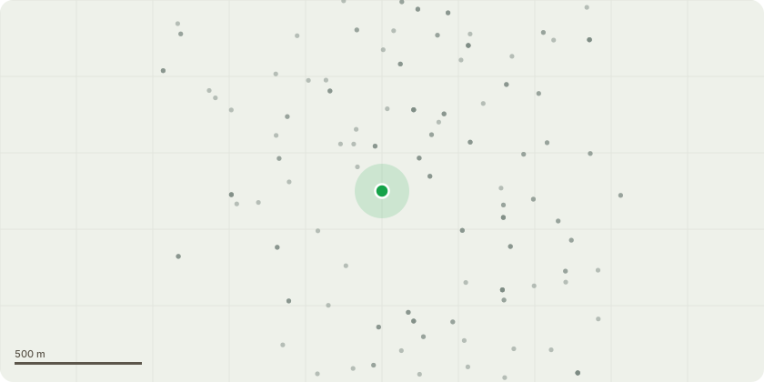
Approximate location
Proposal
Section 73 application for variation of Conditions 28 (community use) and 29 (floodlights) of planning permission 16/03145/OUT granted in outline for the erection of 2 buildings of two to three storeys comprising 13,508 square metres (Gross External Area) of Class D1 floorspace to provide an 8 form entry plus 6th form school (up to 1,680 pupils) and sports hall, 17.200 square metres for playing fields, 2,190 square metres Multi Use Games Area with community use and associated development including car parking spaces, cycle parking spaces, floodlighting, new pedestrian and vehicular accesses, servicing and storage to allow for the community use of the football pitch facility (not directly related to school activities) and varying the hours of operation of its associated floodlights
Key dates
- Received 21 Mar 2025
- Started 21 Mar 2025
Planning history / related applications
No related planning applications have been identified in the current public OGL dataset.
Inside plotEdge
Go beyond the public record
This page is the public OGL record. plotEdge adds the private intelligence layer for this site - open it in the app to unlock:
- Ownership & title Registered owner and title from HM Land Registry.
- Viability & build potential Site scoring and development upside.
- Constraints Flood risk, green belt, conservation areas and designations.
- Approval signal Planning risk and approval-likelihood analysis.
- Comparable applications Decisions on similar nearby sites, side by side.
- Status alerts Get notified the moment this application changes.
Source: public planning application data from Bromley, reused under the Open Government Licence v3.0. View the council source record. Council documents and drawings are not republished on plotEdge.