Bristol, City of
Bristol, City of/26/12433/COND
Old Building Bristol Royal Infirmary Marlborough Street City Centre Bristol BS2 8HW
- Reference
- Bristol, City of/26/12433/COND
- Authority
- Bristol, City of
- Application type
- COND
- Address
- Old Building Bristol Royal Infirmary Marlborough Street City Centre Bristol BS2 8HW
- Postcode
- BS2 8HW
- Status
- Pending consideration
- Received
- 29 Jun 2026
- Started
- 29 Jun 2026
- Source council
- Bristol, City of
- Council source record
- View public record
- Public data licence
- Open Government Licence v3.0
- Record updated
- 18 Jul 2026
- SEO index generated
- 24 Jul 2026
Location
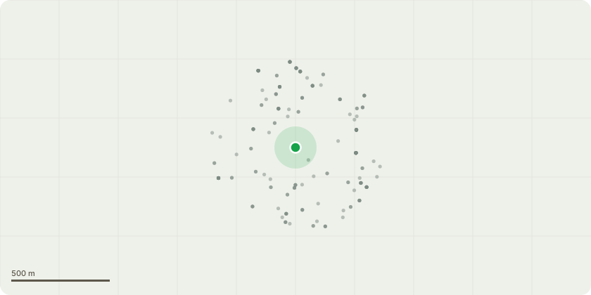
Approximate location
Proposal
Application for approval of details reserved by condition nos. 3 (Re-Survey) and 5 (Samples) of listed building consent 19/04322/LA - Demolition of external structures surrounding the chapel, introduction of doorway formed in an existing window opening at podium level with associated works including a new pedestrian bridge link with slimline glass balustrades; retention of existing doorway and introduction of a glazed oriel window cantilevered off existing stone facade on the north west elevation of the building; replacement of the lower entrance door with panel timber door; retention of existing stone work and replacement stonework to block in existing openings to match existing (stone, detailing, mortar colour and ornamentation); retention of lead framed lancet windows and replacement timber sliding sash windows to replace non-original windows; other associated external alterations to the roof tiles, parapet gutter, parapet copings and rainwater goods.
Key dates
- Received 29 Jun 2026
- Started 29 Jun 2026
Planning history / related applications
No related planning applications have been identified in the current public OGL dataset.
Inside plotEdge
Go beyond the public record
This page is the public OGL record. plotEdge adds the private intelligence layer for this site - open it in the app to unlock:
- Ownership & title Registered owner and title from HM Land Registry.
- Viability & build potential Site scoring and development upside.
- Constraints Flood risk, green belt, conservation areas and designations.
- Approval signal Planning risk and approval-likelihood analysis.
- Comparable applications Decisions on similar nearby sites, side by side.
- Status alerts Get notified the moment this application changes.
Source: public planning application data from Bristol, City of, reused under the Open Government Licence v3.0. View the council source record. Council documents and drawings are not republished on plotEdge.