Bristol, City of
Bristol, City of/25/15606/CPLB
Cote House Cote Drive Bristol BS9 3UP
- Reference
- Bristol, City of/25/15606/CPLB
- Authority
- Bristol, City of
- Application type
- CPLB
- Address
- Cote House Cote Drive Bristol BS9 3UP
- Postcode
- BS9 3UP
- Status
- Decided
- Decision
- Certificate of Lawfulness BE ISSUED
- Received
- 11 Feb 2026
- Validated
- 11 Feb 2026
- Started
- 11 Feb 2026
- Decided
- 17 Feb 2026
- Source council
- Bristol, City of
- Council source record
- View public record
- Public data licence
- Open Government Licence v3.0
- Record updated
- 18 Jul 2026
- SEO index generated
- 24 Jul 2026
Location
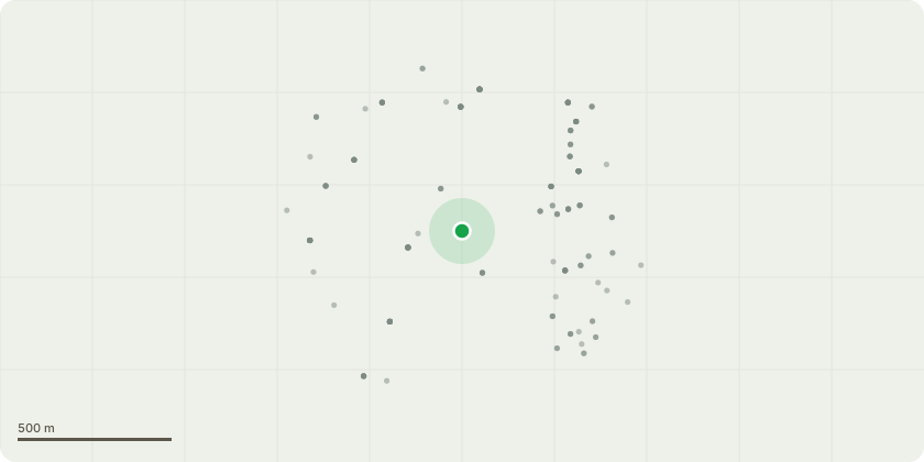
Approximate location
Proposal
Following initial works in connection to the granted Certificate of Lawfulness under application 22/05749/CPLB, the condition of Block A of the Listed Building has continued to show signs of deterioration. Investigation works to determine the extent of the issues has resulted in the discovery of a series of serious structural issues including suspected areas of wood worm, dry rot, death watch beetle andcompromised structure which we feel need to be address with the utmost urgency. A structural survey and report has been carried out.The immediate works will include. Temporary propping on all elves of Block A. Lifting of floor boards in suspected areas of damage. Removal of linings in suspected areas of damage (modern linings only). Repair of floor joists . Re-instate floors and linings insofar as necessary to protect the Listed Building fabric. Other directly related works deemed necessary in connection with the above.
Key dates
- Received 11 Feb 2026
- Validated 11 Feb 2026
- Started 11 Feb 2026
- Decided 17 Feb 2026
Planning history / related applications
No related planning applications have been identified in the current public OGL dataset.
Inside plotEdge
Go beyond the public record
This page is the public OGL record. plotEdge adds the private intelligence layer for this site - open it in the app to unlock:
- Ownership & title Registered owner and title from HM Land Registry.
- Viability & build potential Site scoring and development upside.
- Constraints Flood risk, green belt, conservation areas and designations.
- Approval signal Planning risk and approval-likelihood analysis.
- Comparable applications Decisions on similar nearby sites, side by side.
- Status alerts Get notified the moment this application changes.
Source: public planning application data from Bristol, City of, reused under the Open Government Licence v3.0. View the council source record. Council documents and drawings are not republished on plotEdge.