Bristol, City of
Bristol, City of/25/13354/LA
St Saviours House St Agnes Avenue Bristol BS4 2DU
- Reference
- Bristol, City of/25/13354/LA
- Authority
- Bristol, City of
- Application type
- LA
- Address
- St Saviours House St Agnes Avenue Bristol BS4 2DU
- Postcode
- BS4 2DU
- Status
- Decided
- Decision
- GRANTED subject to condition(s)
- Received
- 30 Jul 2025
- Validated
- 30 Jul 2025
- Started
- 30 Jul 2025
- Decided
- 15 Sept 2025
- Source council
- Bristol, City of
- Council source record
- View public record
- Public data licence
- Open Government Licence v3.0
- Record updated
- 18 Jul 2026
- SEO index generated
- 24 Jul 2026
Location
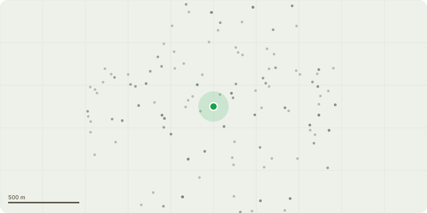
Approximate location
Proposal
Roofing Works - Remove the existing roof coverings and replace with a new plain clay tile roof covering. Remove roof light to rear pitch of the north pavilion roof and tiles reinstated. Slate covered canopy roofs to the pavilion to be renewed like for like manner. All flat roofs to be re-covered. All lead flashing's, abutments and gutters are to be renewed. Repair to roof timbers and boarding if required. Insulate all roof coverings where it is possible to do so using breathable wood fibre board or glass wool insulation. Removal and repair of Emergency Access Stairs. Joinery including the decorative timber fascia boards are to be carefully stripped of their paintwork, repaired, reinstalled where necessary and redecorated. All masonry elements are to be cleaned. Repair pebble dash render on a like for like basis. Exposed stone will be consolidated and repaired. Where individual stones are considered beyond repair they will be replaced. Chimneys will also be repointed and appropriate cowls and pots fitted. Window repairs. repair and replacement works to rainwater goods.
Key dates
- Received 30 Jul 2025
- Validated 30 Jul 2025
- Started 30 Jul 2025
- Decided 15 Sept 2025
Planning history / related applications
No related planning applications have been identified in the current public OGL dataset.
Inside plotEdge
Go beyond the public record
This page is the public OGL record. plotEdge adds the private intelligence layer for this site - open it in the app to unlock:
- Ownership & title Registered owner and title from HM Land Registry.
- Viability & build potential Site scoring and development upside.
- Constraints Flood risk, green belt, conservation areas and designations.
- Approval signal Planning risk and approval-likelihood analysis.
- Comparable applications Decisions on similar nearby sites, side by side.
- Status alerts Get notified the moment this application changes.
Source: public planning application data from Bristol, City of, reused under the Open Government Licence v3.0. View the council source record. Council documents and drawings are not republished on plotEdge.