Bristol, City of
Bristol, City of/25/10527/SCR
Bristol Temple Meads Railway Station Southern Gateway Approach Road Bristol BS1 6QF
- Reference
- Bristol, City of/25/10527/SCR
- Authority
- Bristol, City of
- Application type
- SCR
- Address
- Bristol Temple Meads Railway Station Southern Gateway Approach Road Bristol BS1 6QF
- Postcode
- BS1 6QF
- Status
- Decided
- Decision
- EIA Not required
- Received
- 31 Jan 2025
- Validated
- 31 Jan 2025
- Started
- 31 Jan 2025
- Decided
- 19 Mar 2025
- Source council
- Bristol, City of
- Council source record
- View public record
- Public data licence
- Open Government Licence v3.0
- Record updated
- 18 Jul 2026
- SEO index generated
- 24 Jul 2026
Location
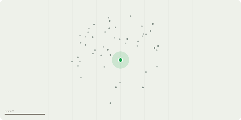
Approximate location
Proposal
Request for a Screening Opinion as to whether and Environmental Impact Assessment is required for the creation of a new transport hub which would provide pedestrian access to Bristol Temple Meads Rail Station, Include the provision of a minimum of 350, maximum of 500 car parking spaces (final number to be confirmed) multi-storey car park (MSCP) including electric vehicle charging points (10% active, 10% passive provision);provision of a cycle pavilion for c. 700-800 cycle parking spaces, including paid and unpaid options and a variety of cycle parking typologies. The proposed Pavilion building may include an upper floor of commercial use as well as a green roof; the creation of new access and provision of bus stops on Bath Road; the creation of new cycle lanes and safeguarded areas for future cycle improvements along Bath Road; improvements to the public realm including a series of landscape and design interventions; the provision of a Road Rail Access Point (RRAP) to facilitate Network Rail track access requirements including a no build zone from the nearest running track; the creation of new raised walkway on top of redundant train track; a walkway to provide level approach from SG to BTM Rail Station; the introduction of spearhead heritage fencing to provide safety barrier between the walkway and the retained train track; 3-5 no resting stops (fixed benches with canopy cover, and small planters) ;CCTV and lighting will be provided on tall poles.
Key dates
- Received 31 Jan 2025
- Validated 31 Jan 2025
- Started 31 Jan 2025
- Decided 19 Mar 2025
Planning history / related applications
No related planning applications have been identified in the current public OGL dataset.
Inside plotEdge
Go beyond the public record
This page is the public OGL record. plotEdge adds the private intelligence layer for this site - open it in the app to unlock:
- Ownership & title Registered owner and title from HM Land Registry.
- Viability & build potential Site scoring and development upside.
- Constraints Flood risk, green belt, conservation areas and designations.
- Approval signal Planning risk and approval-likelihood analysis.
- Comparable applications Decisions on similar nearby sites, side by side.
- Status alerts Get notified the moment this application changes.
Source: public planning application data from Bristol, City of, reused under the Open Government Licence v3.0. View the council source record. Council documents and drawings are not republished on plotEdge.