Bristol, City of
Bristol, City of/24/04186/CE
Service Yard To Rear Of 32/34 Cannon Street 32 Cannon Street Bristol Bedminster BS3 1BN
- Reference
- Bristol, City of/24/04186/CE
- Authority
- Bristol, City of
- Application type
- CE
- Address
- Service Yard To Rear Of 32/34 Cannon Street 32 Cannon Street Bristol Bedminster BS3 1BN
- Postcode
- BS3 1BN
- Status
- Decided
- Decision
- Certificate of Lawfulness BE ISSUED
- Received
- 23 Oct 2024
- Validated
- 23 Oct 2024
- Started
- 23 Oct 2024
- Decided
- 23 Jan 2025
- Source council
- Bristol, City of
- Council source record
- View public record
- Public data licence
- Open Government Licence v3.0
- Record updated
- 18 Jul 2026
- SEO index generated
- 24 Jul 2026
Location
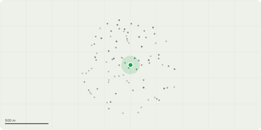
Approximate location
Proposal
Application for a Lawful Development Certificate for an Existing Use or Operation or Activity - Planning Approval for application 09/03529/F was obtained in November 2009 and work was commenced in 2010. This was for changes to the retail outlet at ground floor level at 32 Cannon Street and the residential accommodation above as well as the demolition of outbuildings at 34 Cannon Street and changes to the residential accommodation above and the construction of the offices situated in the service yard which were not completed at the time because of financial constraints and later on the pandemic. The original application description was for No. 32 (Cannon Street) - Change of use of the existing retail unit to cafe/restaurant (A3). Erection of ground floor rear extension, use of first floor as 1 no. one bedroom self contained flat, second floor & attic floor as 1 no. two bedroom flat with access from Cannon Street with associated external alterations. No. 34 (Cannon Street) - Use second floor & attic floor as 1 no. two bedroom self-contained flat with access from Dean Street. (Amendment to previously approved application 07/02897/F with connection to the erection of offices in service yard to 32/34 Cannon Street).
Key dates
- Received 23 Oct 2024
- Validated 23 Oct 2024
- Started 23 Oct 2024
- Decided 23 Jan 2025
Planning history / related applications
No related planning applications have been identified in the current public OGL dataset.
Inside plotEdge
Go beyond the public record
This page is the public OGL record. plotEdge adds the private intelligence layer for this site - open it in the app to unlock:
- Ownership & title Registered owner and title from HM Land Registry.
- Viability & build potential Site scoring and development upside.
- Constraints Flood risk, green belt, conservation areas and designations.
- Approval signal Planning risk and approval-likelihood analysis.
- Comparable applications Decisions on similar nearby sites, side by side.
- Status alerts Get notified the moment this application changes.
Source: public planning application data from Bristol, City of, reused under the Open Government Licence v3.0. View the council source record. Council documents and drawings are not republished on plotEdge.