Brentwood
Brentwood/26/00052/TPO
58 Hamilton Crescent Warley Essex CM14 5ES
- Reference
- Brentwood/26/00052/TPO
- Authority
- Brentwood
- Application type
- Tree preservation order
- Address
- 58 Hamilton Crescent Warley Essex CM14 5ES
- Postcode
- CM14 5ES
- Status
- Approved
- Decision
- Application Permitted
- Received
- 19 Jan 2026
- Validated
- 19 Jan 2026
- Started
- 19 Jan 2026
- Decided
- 13 Mar 2026
- Source council
- Brentwood
- Council source record
- View public record
- Public data licence
- Open Government Licence v3.0
- Record updated
- 18 Jul 2026
- SEO index generated
- 24 Jul 2026
Location
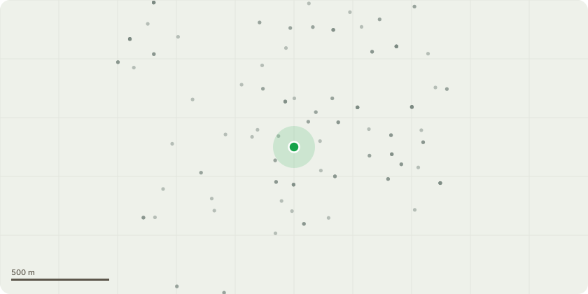
Approximate location
Proposal
Tree Species: Oak (Quercus species)Proposed Works: Removal of the lowest overhanging limb extending over the outbuilding/shed at No. 60, together with the removal of deadwood as necessary. All other parts of the tree will be retained.Reason for Works: The limb overhangs an area used by a young family and their children and presents an ongoing safety concern. The tree is also shedding deadwood, with material regularly falling from the canopy.The proposed works are limited and targeted, intended solely to remove the immediate risk while retaining the remainder of the Oak tree and preserving its overall structure and long-term health.Additional Information:Although the client has been advised that the tree may be subject to a Tree Preservation Order, the TPO map appears to show the tree as being associated with No. 56 rather than No. 60.This application is therefore being submitted to clarify the tree's status and to ensure that any necessary consent is obtained prior to undertaking the works. All works will be carried out in accordance with BS3998: Tree Work - RecommendationsTPO180/1992
Key dates
- Received 19 Jan 2026
- Validated 19 Jan 2026
- Started 19 Jan 2026
- Decided 13 Mar 2026
Planning history / related applications
No related planning applications have been identified in the current public OGL dataset.
Inside plotEdge
Go beyond the public record
This page is the public OGL record. plotEdge adds the private intelligence layer for this site - open it in the app to unlock:
- Ownership & title Registered owner and title from HM Land Registry.
- Viability & build potential Site scoring and development upside.
- Constraints Flood risk, green belt, conservation areas and designations.
- Approval signal Planning risk and approval-likelihood analysis.
- Comparable applications Decisions on similar nearby sites, side by side.
- Status alerts Get notified the moment this application changes.
Source: public planning application data from Brentwood, reused under the Open Government Licence v3.0. View the council source record. Council documents and drawings are not republished on plotEdge.