Brentwood
Brentwood/23/01164/NON/1
Land North Of Shenfield Shenfield Alexander Lane CM15 8QF
- Reference
- Brentwood/23/01164/NON/1
- Authority
- Brentwood
- Address
- Land North Of Shenfield Shenfield Alexander Lane CM15 8QF
- Postcode
- CM15 8QF
- Status
- Pending Decision
- Received
- 4 Feb 2026
- Started
- 4 Feb 2026
- Source council
- Brentwood
- Council source record
- View public record
- Public data licence
- Open Government Licence v3.0
- Record updated
- 18 Jul 2026
- SEO index generated
- 24 Jul 2026
Location
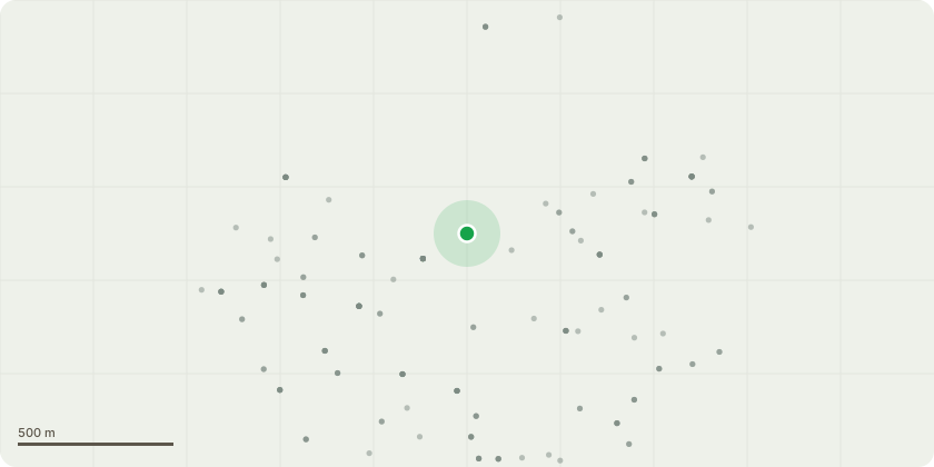
Approximate location
Proposal
Non material amendment to application 23/01164/FUL (Hybrid planning application for 344 units including 35% affordable housing, safeguarded land for a 2FE primary school and early years facility, public open space and associated landscaping, drainage and highways infrastructure.) to allow for amendments as follows:(i) Flatblock A, B, C & D and layout amended to enable building regs carry distances to bin stores.(ii) Plots 19-24 and their parking access road moved to account for Flat A s redesign and the widening of their access paths for EVCP provision. (iii) Substation by plots 44-46 relocated and parking court rearranged so buildings are outside the offset zone.(iv) Hard landscaping materials updated to more available materials. (v) Plots 75-77 rearranged for M4(2) access and compliant level changes. (vi) Parapet roofs on houses replaced with clipped eaves and corbelling detail to the gable end. (vii) Porches rationalised across the site to suit the overall contemporary style. (viii) Metal cladding replaced with green render. (ix) Boarding reduced to half height boarding across all houses. (x) FOG plans updated to match the site layout, resulting in an increase of variants. Some FOGs have had their bin stores or parking rearranged depending on carrying distances required for the surrounding area. (xi) Carport doors removed from HT S4023M. (xii) HT S4023M V4, V5, V6 added to reflect roof changes so that the required number of solar panels can be fitted. (xiii) Bay window reduced to 1 storey and rear windows size reduced on HT S4028M. (xiv) Roof pitch reduced to 45 degrees on the rear gables of HT S4026M and the garages of S4029M to match the main roof. (xv) Minor changes to flatblocks include reducing the number of cladding types, removal or reduction of parapets, lifts removed, roof designs refined and some brick detailing added.
Key dates
- Received 4 Feb 2026
- Started 4 Feb 2026
Planning history / related applications
No related planning applications have been identified in the current public OGL dataset.
Inside plotEdge
Go beyond the public record
This page is the public OGL record. plotEdge adds the private intelligence layer for this site - open it in the app to unlock:
- Ownership & title Registered owner and title from HM Land Registry.
- Viability & build potential Site scoring and development upside.
- Constraints Flood risk, green belt, conservation areas and designations.
- Approval signal Planning risk and approval-likelihood analysis.
- Comparable applications Decisions on similar nearby sites, side by side.
- Status alerts Get notified the moment this application changes.
Source: public planning application data from Brentwood, reused under the Open Government Licence v3.0. View the council source record. Council documents and drawings are not republished on plotEdge.