Brent
Brent/26/1644
Flat 1 - Flat 5, 101 Chatsworth Road, London, NW2 4BH
- Reference
- Brent/26/1644
- Authority
- Brent
- Address
- Flat 1 - Flat 5, 101 Chatsworth Road, London, NW2 4BH
- Postcode
- NW2 4BH
- Status
- Registered
- Received
- 29 Jun 2026
- Started
- 29 Jun 2026
- Source council
- Brent
- Council source record
- View public record
- Public data licence
- Open Government Licence v3.0
- Record updated
- 18 Jul 2026
- SEO index generated
- 24 Jul 2026
Location
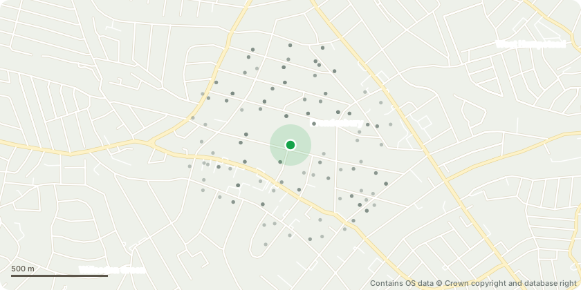
Approximate location - Contains OS data © Crown copyright and database right
Proposal
Variation of condition 2 (Approved drawings) to allowAlterations to Flat layoutsAddition of small boiler shed at rear of Flat 1Minor amendments to the building entranceRear projection pitched roof changed to flatChange of single skylight to two smaller skylights to Flat 2A small section of the new pitched roof set forward to form single slope, allow for adequate soffit, and to match line of neighbouring roof at No.95;Added skylight to Flat 5Adjustment of all floor levels Minor amendments to fenestrationReplacement of front bay window partial brick finish with white renderDormer finished in clay hanging tiles, matching existing roofInternal courtyard doors replaced with windows and removal of internal courtyard windowAddition of obscure glazed window to flat 3 bathroom, of Full Planning Permission application reference 19/4054 dated 29/06/2020 for Sub-division of the existing block of 3 flats to provide 5 self-contained flats (3 x studios, 1 x 2-bed and 1 x 3-bed) involving construction of a roof extension with rear dormer, infill rear extension, conversion of domestic side garage into a habitable room, installation of 1 x rear rooflight, 1 x front roof light, landscaping, alterations to the fenestration and provision of waste and cycle storage.
Key dates
- Received 29 Jun 2026
- Started 29 Jun 2026
Planning history / related applications
No related planning applications have been identified in the current public OGL dataset.
Inside plotEdge
Go beyond the public record
This page is the public OGL record. plotEdge adds the private intelligence layer for this site - open it in the app to unlock:
- Ownership & title Registered owner and title from HM Land Registry.
- Viability & build potential Site scoring and development upside.
- Constraints Flood risk, green belt, conservation areas and designations.
- Approval signal Planning risk and approval-likelihood analysis.
- Comparable applications Decisions on similar nearby sites, side by side.
- Status alerts Get notified the moment this application changes.
Source: public planning application data from Brent, reused under the Open Government Licence v3.0. View the council source record. Council documents and drawings are not republished on plotEdge.