Brent
Brent/26/1034
St Annes Court, 123 Salusbury Road, London, NW6 6RG
- Reference
- Brent/26/1034
- Authority
- Brent
- Address
- St Annes Court, 123 Salusbury Road, London, NW6 6RG
- Postcode
- NW6 6RG
- Status
- Decided
- Decision
- Permission Granted
- Received
- 24 Apr 2026
- Validated
- 27 Apr 2026
- Started
- 27 Apr 2026
- Decided
- 2 Jun 2026
- Source council
- Brent
- Council source record
- View public record
- Public data licence
- Open Government Licence v3.0
- Record updated
- 18 Jul 2026
- SEO index generated
- 24 Jul 2026
Location
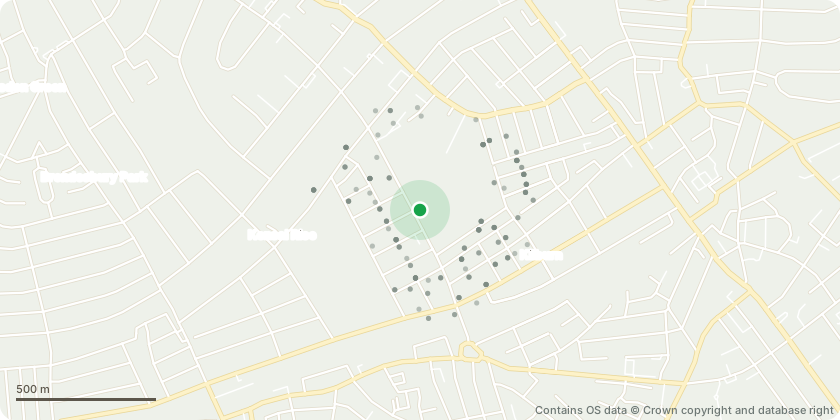
Approximate location - Contains OS data © Crown copyright and database right
Proposal
Front area-Salusbury Road boundary: T1-Yew (Taxus baccata) - reduce and trim back by 0.75m to complete rounded form ensuring cut back and lift on pavement side T2 - Cherry (Prunus) - large tree - reduce crown by 1.5m to suitable growth points - thin crown by 15% removing any crossing/suppressed branches to allow more air/light through canopyT3 ensure good separation from front aspect of building. T4 - T5 - 2x Tall Lime (Tilia cordata) - reduce both crowns to previous reduction points 1.3m on both treesT6 - Turkey Oak (Quercus cerris) - on verge by pavement - reduce crown by 2m to suitable growth points - reduce lateral branch length to match - crown lift by 0.5m removing lowest branches to give greater clearance over pavement. In rear communal garden: T7-T8-T9-T10 4x Cherry(Prunus) - crown thin all trees to allowing more light through canopies removing fine branch furnishings up to 0.6m and epicormic growth. On south-facing boundary: T12-Mountain Ash(Rowan-Sorbus aria) - reduce crown by 1.6m to suitable growth points - reduce lateral branches to shape, balance and tidy.
Key dates
- Received 24 Apr 2026
- Validated 27 Apr 2026
- Started 27 Apr 2026
- Decided 2 Jun 2026
Planning history / related applications
No related planning applications have been identified in the current public OGL dataset.
Inside plotEdge
Go beyond the public record
This page is the public OGL record. plotEdge adds the private intelligence layer for this site - open it in the app to unlock:
- Ownership & title Registered owner and title from HM Land Registry.
- Viability & build potential Site scoring and development upside.
- Constraints Flood risk, green belt, conservation areas and designations.
- Approval signal Planning risk and approval-likelihood analysis.
- Comparable applications Decisions on similar nearby sites, side by side.
- Status alerts Get notified the moment this application changes.
Source: public planning application data from Brent, reused under the Open Government Licence v3.0. View the council source record. Council documents and drawings are not republished on plotEdge.