Brent
Brent/25/3337
Keelers Service Centre, 707 Harrow Road, Wembley, HA0 2LL
- Reference
- Brent/25/3337
- Authority
- Brent
- Address
- Keelers Service Centre, 707 Harrow Road, Wembley, HA0 2LL
- Postcode
- HA0 2LL
- Status
- Registered
- Received
- 1 Dec 2025
- Started
- 1 Dec 2025
- Source council
- Brent
- Council source record
- View public record
- Public data licence
- Open Government Licence v3.0
- Record updated
- 18 Jul 2026
- SEO index generated
- 24 Jul 2026
Location
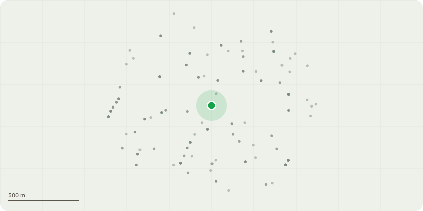
Approximate location
Proposal
Details pursuant to conditions 9b (verification report), 13 (landscaping) ,14 (satellite dishes) and 15(sound insulation) of Variation of Conditions reference 24/2828 dated 12 August, 2025, for Variation of condition 2, development built in accordance with approved drawings to allow:Amendments to the internal layout including an increased size basement with an additional staircase;Amendments to the proposed unit mix including an additional dwelling located on the 5th floor;Relocation of and increased quantum of cycle storage provision;Amendments to the overall quantum and provision of private external amenity space;Amendments to the elevational treatment including additional canopies at ground floor level and revised window details and balcony rails;Removal of rooftop PV panels and sedum roof and the installation of 4x Air Source Heat Pumps; and,Amendments to the layout of the public realm;of Full Planning Permission reference 18/3069 (as amended by 24/0313) (revised description) for Demolition of existing M.O.T testing centre and erection of a part 5 and part 6 storey mixed use building comprising office (Use class B1) at ground floor, residential units on the 1st to 5th floors, plant room in basement; PV panels at roof level, cycle parking and waste storage (revised description), subject to Deed of Agreement dated 10 February 2020 and a Deed of Variation dated 5th August 2025 under Section 106 of the Town and Country Planning Act 1990, as amended.
Key dates
- Received 1 Dec 2025
- Started 1 Dec 2025
Planning history / related applications
No related planning applications have been identified in the current public OGL dataset.
Inside plotEdge
Go beyond the public record
This page is the public OGL record. plotEdge adds the private intelligence layer for this site - open it in the app to unlock:
- Ownership & title Registered owner and title from HM Land Registry.
- Viability & build potential Site scoring and development upside.
- Constraints Flood risk, green belt, conservation areas and designations.
- Approval signal Planning risk and approval-likelihood analysis.
- Comparable applications Decisions on similar nearby sites, side by side.
- Status alerts Get notified the moment this application changes.
Source: public planning application data from Brent, reused under the Open Government Licence v3.0. View the council source record. Council documents and drawings are not republished on plotEdge.