Brent
Brent/25/2450
1-4 and 9 Watkin Road, Wembley, HA9 0NL
- Reference
- Brent/25/2450
- Authority
- Brent
- Address
- 1-4 and 9 Watkin Road, Wembley, HA9 0NL
- Postcode
- HA9 0NL
- Status
- Decided
- Decision
- Permission Granted
- Received
- 26 Aug 2025
- Validated
- 26 Aug 2025
- Started
- 26 Aug 2025
- Decided
- 16 Oct 2025
- Source council
- Brent
- Council source record
- View public record
- Public data licence
- Open Government Licence v3.0
- Record updated
- 18 Jul 2026
- SEO index generated
- 24 Jul 2026
Location
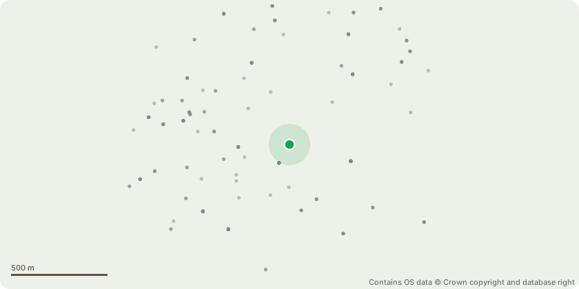
Approximate location - Contains OS data © Crown copyright and database right
Proposal
Non-material amendment: 1.Addition of an external access door to the bike store. 2.Minor alteration to the layout of the plant acoustic screening enclosure. 3.Additional external doors to the Level 6 external amenity space. 4.Addition of roofing to the plant enclosures. 5.Mounting of smoke extractors at roof level in a horizontal configuration. 6.Relocation of one strip of glazed units from one bay section to an adjacent bay section. 7.Change in specification of one strip of glazed units. 8.Slight increase in the depth of the band at first floor slab level.of full planning permission application reference 22/3965 dated 23/02/2024 for Demolition of existing buildings and construction of two new buildings to provide commercial floorspace (Use Class: E) and student accommodation bedspaces (Use Class: Sui Generis), associated access and highways works, amenity space, cycle parking spaces, disabled car parking spaces and refuse/recycling stores. Subject to a legal agreement under Section 106 of the Town and Country Planning Act 1990 (as amended) dated 23rd of February 2024.
Key dates
- Received 26 Aug 2025
- Validated 26 Aug 2025
- Started 26 Aug 2025
- Decided 16 Oct 2025
Planning history / related applications
No related planning applications have been identified in the current public OGL dataset.
Inside plotEdge
Go beyond the public record
This page is the public OGL record. plotEdge adds the private intelligence layer for this site - open it in the app to unlock:
- Ownership & title Registered owner and title from HM Land Registry.
- Viability & build potential Site scoring and development upside.
- Constraints Flood risk, green belt, conservation areas and designations.
- Approval signal Planning risk and approval-likelihood analysis.
- Comparable applications Decisions on similar nearby sites, side by side.
- Status alerts Get notified the moment this application changes.
Source: public planning application data from Brent, reused under the Open Government Licence v3.0. View the council source record. Council documents and drawings are not republished on plotEdge.