Brent
Brent/24/2427
Brondesbury Court, 235 Willesden Lane, Willesden, London, NW2 5RR
- Reference
- Brent/24/2427
- Authority
- Brent
- Address
- Brondesbury Court, 235 Willesden Lane, Willesden, London, NW2 5RR
- Postcode
- NW2 5RR
- Status
- Decided
- Decision
- Permission Refused
- Received
- 30 Aug 2024
- Validated
- 30 Aug 2024
- Started
- 30 Aug 2024
- Decided
- 25 Oct 2024
- Source council
- Brent
- Council source record
- View public record
- Public data licence
- Open Government Licence v3.0
- Record updated
- 18 Jul 2026
- SEO index generated
- 24 Jul 2026
Location
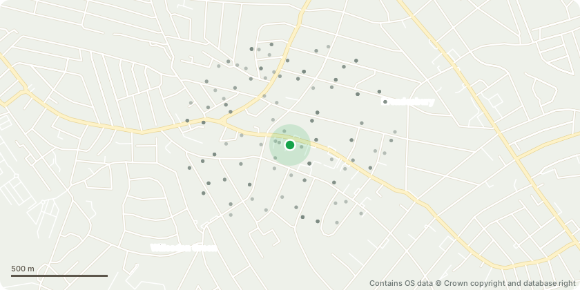
Approximate location - Contains OS data © Crown copyright and database right
Proposal
T1 London Plane: the large lower limb to be removed would leave a significant wound which would be likely to impact on the health of the tree. The crown reduction is not detailed or justified. T2 Sycamore: no reasons are given for the work T5 Sycamore: no reasons are given for the work T7 Yew: no justification for the work and no evidence regarding damage to adjacent building T8-T13 Limes: it is not clear the extent of re-pollarding proposed as this group of trees do not appear to have been pollarded recently, with only some minor regrowth at the very top. Any proposed work would need to be detailed with measurements. T21 Cedar: removal of ripped stem would cause more damage to tree, should just leave as it is. T17 Leyland cypress no reason to lift canopy.
Key dates
- Received 30 Aug 2024
- Validated 30 Aug 2024
- Started 30 Aug 2024
- Decided 25 Oct 2024
Planning history / related applications
No related planning applications have been identified in the current public OGL dataset.
Inside plotEdge
Go beyond the public record
This page is the public OGL record. plotEdge adds the private intelligence layer for this site - open it in the app to unlock:
- Ownership & title Registered owner and title from HM Land Registry.
- Viability & build potential Site scoring and development upside.
- Constraints Flood risk, green belt, conservation areas and designations.
- Approval signal Planning risk and approval-likelihood analysis.
- Comparable applications Decisions on similar nearby sites, side by side.
- Status alerts Get notified the moment this application changes.
Source: public planning application data from Brent, reused under the Open Government Licence v3.0. View the council source record. Council documents and drawings are not republished on plotEdge.