Bradford
Bradford/26/02082/CPN
Franklin 25 Easby Drive Ilkley West Yorkshire LS29 9AZ
- Reference
- Bradford/26/02082/CPN
- Authority
- Bradford
- Application type
- CPN
- Address
- Franklin 25 Easby Drive Ilkley West Yorkshire LS29 9AZ
- Postcode
- LS29 9AZ
- Status
- Pending Consideration
- Received
- 10 Jun 2026
- Started
- 10 Jun 2026
- Source council
- Bradford
- Council source record
- View public record
- Public data licence
- Open Government Licence v3.0
- Record updated
- 18 Jul 2026
- SEO index generated
- 24 Jul 2026
Location
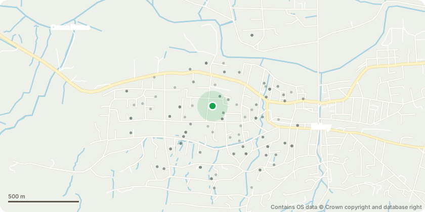
Approximate location - Contains OS data © Crown copyright and database right
Proposal
T1 - Sycamore Tree - Reduce the overall height of the tree by approximately 7.5 metres (25 ft), from approximately 15 metres (50 ft) to a finished height of approximately 7.5 metres (25 ft). Works to be carried out by reduction pruning to suitable growth points, maintaining a balanced crown and natural shape - The tree has become disproportionately large for its location and is causing nuisance to the neighbouring property. Its height and canopy are contributing to excessive shading and loss of natural light, and the tree is impacting gutters through the accumulation of leaf litter and small branch debris. The proposed reduction will retain the tree as an important landscape feature and privacy screen whilst reducing its dominance and bringing it to a more appropriate size for its surroundings. The works will help ensure the long-term retention of the tree within the site while reducing its impact on adjacent residential properties.
Key dates
- Received 10 Jun 2026
- Started 10 Jun 2026
Planning history / related applications
No related planning applications have been identified in the current public OGL dataset.
Inside plotEdge
Go beyond the public record
This page is the public OGL record. plotEdge adds the private intelligence layer for this site - open it in the app to unlock:
- Ownership & title Registered owner and title from HM Land Registry.
- Viability & build potential Site scoring and development upside.
- Constraints Flood risk, green belt, conservation areas and designations.
- Approval signal Planning risk and approval-likelihood analysis.
- Comparable applications Decisions on similar nearby sites, side by side.
- Status alerts Get notified the moment this application changes.
Source: public planning application data from Bradford, reused under the Open Government Licence v3.0. View the council source record. Council documents and drawings are not republished on plotEdge.