Bradford
Bradford/26/01587/CPN
Saltaire Primary School Albert Road Saltaire Shipley West Yorkshire BD18 4NR
- Reference
- Bradford/26/01587/CPN
- Authority
- Bradford
- Application type
- CPN
- Address
- Saltaire Primary School Albert Road Saltaire Shipley West Yorkshire BD18 4NR
- Postcode
- BD18 4NR
- Status
- Pending Consideration
- Received
- 19 May 2026
- Started
- 19 May 2026
- Source council
- Bradford
- Council source record
- View public record
- Public data licence
- Open Government Licence v3.0
- Record updated
- 18 Jul 2026
- SEO index generated
- 24 Jul 2026
Location
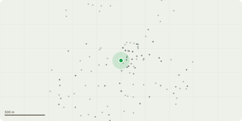
Approximate location
Proposal
T1 (Cherry) - Remove deadwood and prune back old branch stubs.Crown reduction of 2 metres to appropriate growth points (In accordance withBS;3998). Drawing back from school building and utility lines to leave 2m clearance.T2 (Cherry) - Crown reduction of 2 metres to appropriate growth points (Inaccordance with BS;3998). Drawing back from school building and utility lines toleave 2m clearance.T4 (Cherry) - Sever Ivy at base to 1m and remove once dead to allow full inspectionin future. Crown reduction of 2 metres to appropriate growth points (In accordancewith BS;3998). Drawing back from school building and utility lines to leave 2mclearance.T5 (Cherry) - Crown reduction of 2 metres to appropriate growth points (Inaccordance with BS;3998). Drawing back from school building, external stair set andutility lines to leave 2m clearance.T7 (Hawthorn) - Sever Ivy at base to 1m and remove once dead to allow fullinspection in future. Prune back to give 2m clearance away from lamppost andschool building.T8 (Cherry) - Crown reduction of 2 metres to appropriate growth points (Inaccordance with BS;3998). Drawing back from school building and utility lines toleave 2m clearance.T10 (Norway Maple) - Remove deadwoodT11 (Norway Maple) - Remove deadwood. Monitor Crown Health and leaf spreadReassess in 6 monthsT12 (Norway Maple) - Remove deadwood.T13 (Norway Maple) - Remove deadwood.T14 (Norway Maple) - Remove deadwood.T15 (Norway Maple) - Remove deadwood.G16 (Hawthorn) - Fell to ground level.T18 (Rowan) - Fell to ground level.T19 (Horse chestnut) - 2m Reduction of crown to appropriate growth points to alleviate the mechanical strain onbranches and branch unions due to heavy tip weight.
Key dates
- Received 19 May 2026
- Started 19 May 2026
Planning history / related applications
No related planning applications have been identified in the current public OGL dataset.
Inside plotEdge
Go beyond the public record
This page is the public OGL record. plotEdge adds the private intelligence layer for this site - open it in the app to unlock:
- Ownership & title Registered owner and title from HM Land Registry.
- Viability & build potential Site scoring and development upside.
- Constraints Flood risk, green belt, conservation areas and designations.
- Approval signal Planning risk and approval-likelihood analysis.
- Comparable applications Decisions on similar nearby sites, side by side.
- Status alerts Get notified the moment this application changes.
Source: public planning application data from Bradford, reused under the Open Government Licence v3.0. View the council source record. Council documents and drawings are not republished on plotEdge.