Bradford
Bradford/26/01366/CPN
Seventh Day Adventist Church Melbourne Place Bradford West Yorkshire BD5 0HZ
- Reference
- Bradford/26/01366/CPN
- Authority
- Bradford
- Application type
- CPN
- Address
- Seventh Day Adventist Church Melbourne Place Bradford West Yorkshire BD5 0HZ
- Postcode
- BD5 0HZ
- Status
- Pending Consideration
- Received
- 16 Apr 2026
- Started
- 16 Apr 2026
- Source council
- Bradford
- Council source record
- View public record
- Public data licence
- Open Government Licence v3.0
- Record updated
- 18 Jul 2026
- SEO index generated
- 24 Jul 2026
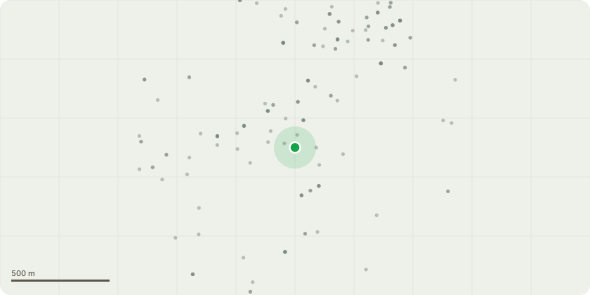
Location
Approximate location
Proposal
Requesting to remove X1 small-Medium sized self seeding Ash tree within a conservation area Ref:7,090.00 on behalf of Bradford Central, Seventh day Adventist Church. The church have expressed serious concerns and fears due to the heavy leaning and unevenly weighted Ash canopy that may fail during high winds, should this tree fail it will be falling straight onto a very busy footpath and road potentially causing serious injury to pedestrians and or damage to property which the church will be liable for. Upon visual inspection it is clear to see the majority of the canopies weight is on the road and footpath side see pictures attached. A very weak looking attachment point is also present holding a large lateral limb that spans the full width of the road, also see pictures attached. Subject to a successful application the Ash tree in question will be dismantled and removed leave a six foot stem in place to retain the properties boundary line and ensure site security.
Key dates
- Received 16 Apr 2026
- Started 16 Apr 2026
Planning history / related applications
No related planning applications have been identified in the current public OGL dataset.
Inside plotEdge
Go beyond the public record
This page is the public OGL record. plotEdge adds the private intelligence layer for this site - open it in the app to unlock:
- Ownership & title Registered owner and title from HM Land Registry.
- Viability & build potential Site scoring and development upside.
- Constraints Flood risk, green belt, conservation areas and designations.
- Approval signal Planning risk and approval-likelihood analysis.
- Comparable applications Decisions on similar nearby sites, side by side.
- Status alerts Get notified the moment this application changes.
Source: public planning application data from Bradford, reused under the Open Government Licence v3.0. View the council source record. Council documents and drawings are not republished on plotEdge.