Bradford
Bradford/26/00162/CPN
Lea View Back Leeming Oxenhope Keighley West Yorkshire BD22 9NN
- Reference
- Bradford/26/00162/CPN
- Authority
- Bradford
- Application type
- CPN
- Address
- Lea View Back Leeming Oxenhope Keighley West Yorkshire BD22 9NN
- Postcode
- BD22 9NN
- Status
- Unknown
- Decision
- CPN Lapsed
- Received
- 15 Jan 2026
- Validated
- 15 Jan 2026
- Started
- 15 Jan 2026
- Decided
- 14 May 2026
- Source council
- Bradford
- Council source record
- View public record
- Public data licence
- Open Government Licence v3.0
- Record updated
- 18 Jul 2026
- SEO index generated
- 24 Jul 2026
Location
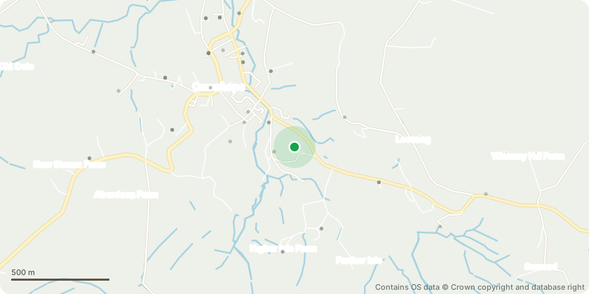
Approximate location - Contains OS data © Crown copyright and database right
Proposal
T1 is a Sycamore. T2, T3 and T4 are Norway Spruce. All 4 trees are mature, and all are within 4 feet of the boundary wall, dry stone, which is being affected by roots. The wall is directly adjacent to the tarmac road surface and any collapse would be directly into the road. The wall at the base of T1 in particular is showing signs of movement as shown in IMG 2064. The neighbours in the houses opposite (35 and 41on sketch plan) again directly adjacent to the road, are concerned due to the size and proximity of the trees to their houses. I want to fell all four of the identified trees, down to ground level, and will replant trees (not spruce) in the same plot of land to compensate for the loss of these 4. I believe they are a danger to the safety of the wall.
Key dates
- Received 15 Jan 2026
- Validated 15 Jan 2026
- Started 15 Jan 2026
- Decided 14 May 2026
Planning history / related applications
No related planning applications have been identified in the current public OGL dataset.
Inside plotEdge
Go beyond the public record
This page is the public OGL record. plotEdge adds the private intelligence layer for this site - open it in the app to unlock:
- Ownership & title Registered owner and title from HM Land Registry.
- Viability & build potential Site scoring and development upside.
- Constraints Flood risk, green belt, conservation areas and designations.
- Approval signal Planning risk and approval-likelihood analysis.
- Comparable applications Decisions on similar nearby sites, side by side.
- Status alerts Get notified the moment this application changes.
Source: public planning application data from Bradford, reused under the Open Government Licence v3.0. View the council source record. Council documents and drawings are not republished on plotEdge.