Bradford
Bradford/25/04607/CPN
Owl Wood Hebers Ghyll Drive Ilkley West Yorkshire LS29 9QH
- Reference
- Bradford/25/04607/CPN
- Authority
- Bradford
- Application type
- CPN
- Address
- Owl Wood Hebers Ghyll Drive Ilkley West Yorkshire LS29 9QH
- Postcode
- LS29 9QH
- Status
- Unknown
- Decision
- CPN Lapsed
- Received
- 11 Dec 2025
- Validated
- 11 Dec 2025
- Started
- 11 Dec 2025
- Decided
- 11 Feb 2026
- Source council
- Bradford
- Council source record
- View public record
- Public data licence
- Open Government Licence v3.0
- Record updated
- 18 Jul 2026
- SEO index generated
- 24 Jul 2026
Location
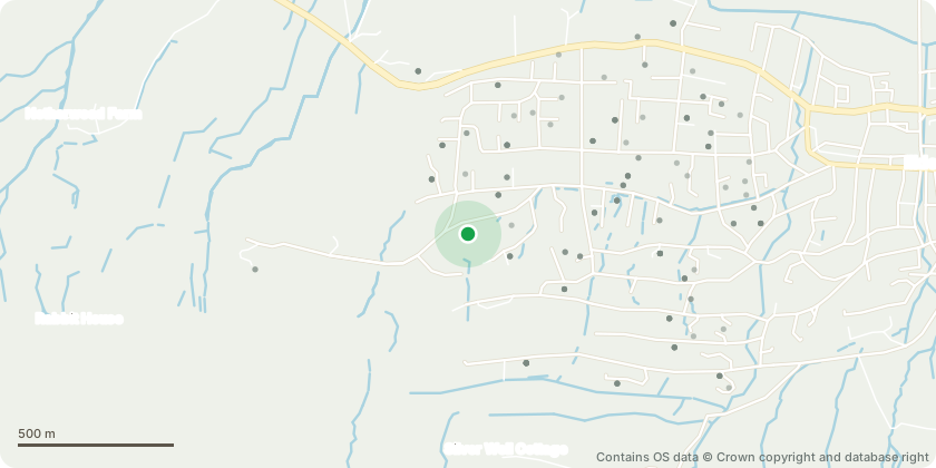
Approximate location - Contains OS data © Crown copyright and database right
Proposal
T1) Lift multi stemmed Cedar over the outside public path.T2) Lift low branches on the Oak tree to clear the hedge by 1m.To generally tidy and reclaim overgrown areas which have self seeded, and threaten to overcrowd the garden beyond control in maturity:G1) Clear the area behind the South east boundary of fallen trees to clear the gardens access path behind the summerhouse.G2) Remove 8x small self seeded Holly, Beech and Yew from the area directly behind the summerhouse.T3) Remove self seeded Beech tree and T4) dead Acer in the south east corner of the lawn.G3) Remove the tall whippy group of Holly within the bed on the east edge bed of the lawn.G4) On the corner of the bed next to G3, remove mixed merged group of Beech, Holly and several dead little trees.T5) Remove self seeded Willow growing against the mature Oak on the north edge of the car park.T6) Remove tall Beech tree with bend and growth abnormality near the base in the woodland area, north west corner of the car park.As these are all self seeded saplings or very young, request not to replace due to lack of suitable space and large population of well established trees present around the property.
Key dates
- Received 11 Dec 2025
- Validated 11 Dec 2025
- Started 11 Dec 2025
- Decided 11 Feb 2026
Planning history / related applications
No related planning applications have been identified in the current public OGL dataset.
Inside plotEdge
Go beyond the public record
This page is the public OGL record. plotEdge adds the private intelligence layer for this site - open it in the app to unlock:
- Ownership & title Registered owner and title from HM Land Registry.
- Viability & build potential Site scoring and development upside.
- Constraints Flood risk, green belt, conservation areas and designations.
- Approval signal Planning risk and approval-likelihood analysis.
- Comparable applications Decisions on similar nearby sites, side by side.
- Status alerts Get notified the moment this application changes.
Source: public planning application data from Bradford, reused under the Open Government Licence v3.0. View the council source record. Council documents and drawings are not republished on plotEdge.