Bradford
Bradford/25/03970/CPN
Moorfield House 2A Jenny Lane Baildon West Yorkshire BD17 6RJ
- Reference
- Bradford/25/03970/CPN
- Authority
- Bradford
- Application type
- CPN
- Address
- Moorfield House 2A Jenny Lane Baildon West Yorkshire BD17 6RJ
- Postcode
- BD17 6RJ
- Status
- Unknown
- Decision
- CPN Lapsed
- Received
- 17 Oct 2025
- Validated
- 17 Oct 2025
- Started
- 17 Oct 2025
- Decided
- 1 Dec 2025
- Source council
- Bradford
- Council source record
- View public record
- Public data licence
- Open Government Licence v3.0
- Record updated
- 18 Jul 2026
- SEO index generated
- 24 Jul 2026
Location
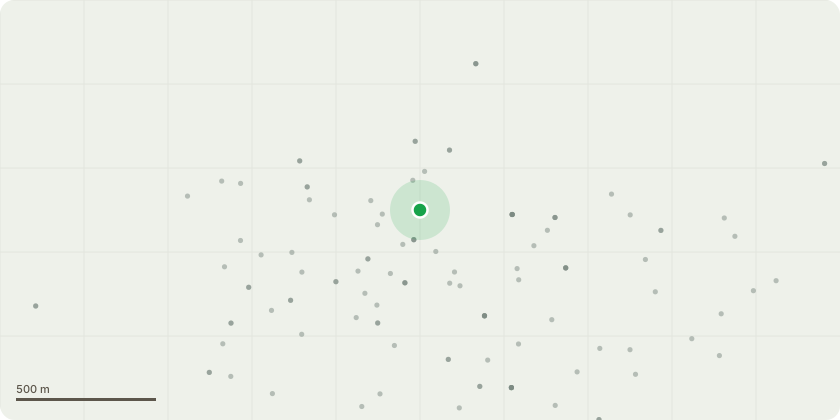
Approximate location
Proposal
T1 Willow Tree - Crown lift to provide 3.5 metres ground clearance.T2 Silver Birch and T3 Cherry Tree - Reduce height by approximately 10 ft (from 30 ft to 20 ft) and shape the crowns to maintain a balanced form.T4 & T5 Conifer Trees - Reduce height from 25 ft to 20 ft to match adjacent trees (T2 & T3).T6 Horse Chestnut - Reduce height by 15 ft (from 45 ft to 30 ft) and shape to balance the crown.T7 Cedar Tree - Prune top down by 5 ft (from approximately 45 ft to 40 ft).T8 Willow Tree - Prune back to provide 2.5 metres clearance from the property.T9 Silver Birch and T12 Cherry Tree - Reduce height by 5 ft (from 25 ft to 20 ft) and shape the crowns to balance.T10 & T11 Apple Trees - Prune down by 5 ft (from 20 ft to 15 ft) and shape the crowns.G1 Beech Hedge - Reduce height by 5 ft (from 12 ft to 7 ft).G2 Row of mixed species trees - General prune and tidy, reducing height by 5 ft (from 20 ft to 15 ft).Reason for Works:The proposed works aim to increase the amount of natural light entering the garden and property, while maintaining the health, structure, and natural form of the trees. This is considered good arboricultural management for a domestic setting, ensuring the trees remain at a suitable and manageable size, enhance amenity value, and continue to thrive.
Key dates
- Received 17 Oct 2025
- Validated 17 Oct 2025
- Started 17 Oct 2025
- Decided 1 Dec 2025
Planning history / related applications
No related planning applications have been identified in the current public OGL dataset.
Inside plotEdge
Go beyond the public record
This page is the public OGL record. plotEdge adds the private intelligence layer for this site - open it in the app to unlock:
- Ownership & title Registered owner and title from HM Land Registry.
- Viability & build potential Site scoring and development upside.
- Constraints Flood risk, green belt, conservation areas and designations.
- Approval signal Planning risk and approval-likelihood analysis.
- Comparable applications Decisions on similar nearby sites, side by side.
- Status alerts Get notified the moment this application changes.
Source: public planning application data from Bradford, reused under the Open Government Licence v3.0. View the council source record. Council documents and drawings are not republished on plotEdge.