Bradford
Bradford/25/02453/CPN
16C Park Drive Bradford West Yorkshire BD9 4DR
- Reference
- Bradford/25/02453/CPN
- Authority
- Bradford
- Application type
- CPN
- Address
- 16C Park Drive Bradford West Yorkshire BD9 4DR
- Postcode
- BD9 4DR
- Status
- Decided
- Decision
- Decline to Determine
- Received
- 25 Jun 2025
- Validated
- 25 Jun 2025
- Started
- 25 Jun 2025
- Decided
- 8 Aug 2025
- Source council
- Bradford
- Council source record
- View public record
- Public data licence
- Open Government Licence v3.0
- Record updated
- 18 Jul 2026
- SEO index generated
- 24 Jul 2026
Location
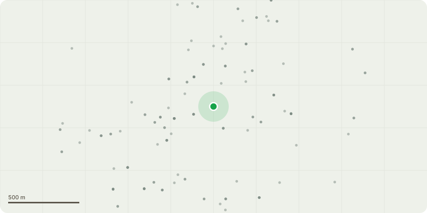
Approximate location
Proposal
T1 Pine - Fell - The tree is situated in close proximity to the property and, due to its mature size, is having a significant negative impact. It is causing persistent issues with excessive needle drop, leading to blocked gutters that require repeated annual maintenance at the residents expense. In addition, the density and extent of the canopy are rendering the rear of the property difficult to use and enjoy.T2 Conifer - Fell - The tree has outgrown its current position and is no longer in keeping with the scale and character of the garden. Its removal will allow surrounding trees and shrubs to establish more effectively and contribute to a more balanced and aesthetically pleasing boundary. Given the species and current height, ongoing management would be difficult and unsustainable; therefore, removal is recommended over reduction in this instance in our opinion.
Key dates
- Received 25 Jun 2025
- Validated 25 Jun 2025
- Started 25 Jun 2025
- Decided 8 Aug 2025
Planning history / related applications
No related planning applications have been identified in the current public OGL dataset.
Inside plotEdge
Go beyond the public record
This page is the public OGL record. plotEdge adds the private intelligence layer for this site - open it in the app to unlock:
- Ownership & title Registered owner and title from HM Land Registry.
- Viability & build potential Site scoring and development upside.
- Constraints Flood risk, green belt, conservation areas and designations.
- Approval signal Planning risk and approval-likelihood analysis.
- Comparable applications Decisions on similar nearby sites, side by side.
- Status alerts Get notified the moment this application changes.
Source: public planning application data from Bradford, reused under the Open Government Licence v3.0. View the council source record. Council documents and drawings are not republished on plotEdge.