Bradford
Bradford/25/02283/TPO
High Manor Main Street Addingham West Yorkshire LS29 0LY
- Reference
- Bradford/25/02283/TPO
- Authority
- Bradford
- Application type
- Tree preservation order
- Address
- High Manor Main Street Addingham West Yorkshire LS29 0LY
- Postcode
- LS29 0LY
- Status
- Decided
- Decision
- Part Grant Part Refusal of TPO Case
- Received
- 11 Jun 2025
- Validated
- 11 Jun 2025
- Started
- 11 Jun 2025
- Decided
- 15 Oct 2025
- Source council
- Bradford
- Council source record
- View public record
- Public data licence
- Open Government Licence v3.0
- Record updated
- 18 Jul 2026
- SEO index generated
- 24 Jul 2026
Location
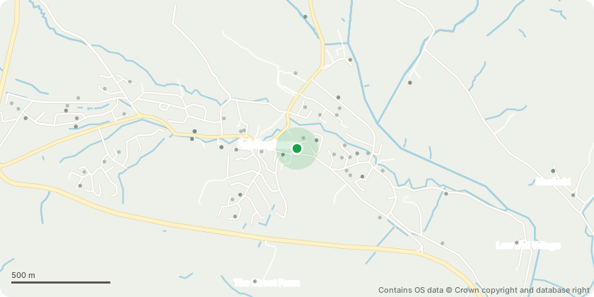
Approximate location - Contains OS data © Crown copyright and database right
Proposal
T1 Cedar - Propose to re-balance the canopy, draw in the longer limbs overextending the natural shape which will catch heavy snowfall and high winds and break. Reduce 1x forked primary limb over the garden side by 3m max, remaining 3m approximately. Draw back longest limbs extending over the roadside by 3m max, remaining 4m approximately. Lift to 4m for high vehicle clearance. Clear canopy of multiple limbs which are cracked, part severed, or entirely free but snagged up and still present in the canopy. As well as some poor pruning cuts to be made good. (See annotated photos).
Key dates
- Received 11 Jun 2025
- Validated 11 Jun 2025
- Started 11 Jun 2025
- Decided 15 Oct 2025
Planning history / related applications
No related planning applications have been identified in the current public OGL dataset.
Inside plotEdge
Go beyond the public record
This page is the public OGL record. plotEdge adds the private intelligence layer for this site - open it in the app to unlock:
- Ownership & title Registered owner and title from HM Land Registry.
- Viability & build potential Site scoring and development upside.
- Constraints Flood risk, green belt, conservation areas and designations.
- Approval signal Planning risk and approval-likelihood analysis.
- Comparable applications Decisions on similar nearby sites, side by side.
- Status alerts Get notified the moment this application changes.
Source: public planning application data from Bradford, reused under the Open Government Licence v3.0. View the council source record. Council documents and drawings are not republished on plotEdge.