Bradford
Bradford/25/01186/CPN
6 Bailey Hills Road Bingley West Yorkshire BD16 2RJ
- Reference
- Bradford/25/01186/CPN
- Authority
- Bradford
- Application type
- CPN
- Address
- 6 Bailey Hills Road Bingley West Yorkshire BD16 2RJ
- Postcode
- BD16 2RJ
- Status
- Decided
- Decision
- Decline to Determine
- Received
- 26 Mar 2025
- Validated
- 26 Mar 2025
- Started
- 26 Mar 2025
- Decided
- 8 May 2025
- Source council
- Bradford
- Council source record
- View public record
- Public data licence
- Open Government Licence v3.0
- Record updated
- 18 Jul 2026
- SEO index generated
- 24 Jul 2026
Location
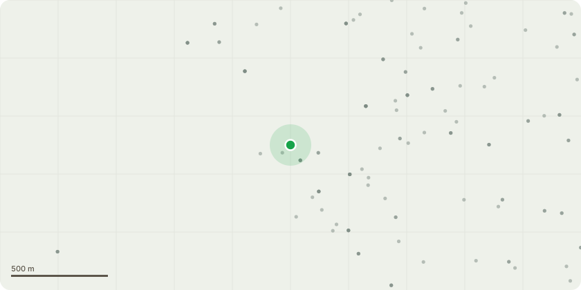
Approximate location
Proposal
T1 + T2 - Fir Trees - Prune in height from 30ft - 24ft and in width from 15ft - 12ft - Remedial tree pruning to maintain the trees amenity and size for a domestic gardenT3 - Yew Tree - Reduce in height and width by 12ft, from 24ft to 12ft - The tree has become very large for its' location, causing lack of light into that side of the property and garden. The tree is on the corner of the property which borders onto the boundary of the road and footpath, which do require sufficient clearance. The proposed work will allow the tree to remain with a balanced crown but at a more reasonable size for the size of the garden. Although the work would not be appropriate for every species Yew trees are remarkably resilient and can withstand substantial pruning and shaping and known for their ability to regrow from practically any cut, therefore we see no reason for this work to have a negative impact on the tree but will make a big difference to Mr McEvoy.
Key dates
- Received 26 Mar 2025
- Validated 26 Mar 2025
- Started 26 Mar 2025
- Decided 8 May 2025
Planning history / related applications
No related planning applications have been identified in the current public OGL dataset.
Inside plotEdge
Go beyond the public record
This page is the public OGL record. plotEdge adds the private intelligence layer for this site - open it in the app to unlock:
- Ownership & title Registered owner and title from HM Land Registry.
- Viability & build potential Site scoring and development upside.
- Constraints Flood risk, green belt, conservation areas and designations.
- Approval signal Planning risk and approval-likelihood analysis.
- Comparable applications Decisions on similar nearby sites, side by side.
- Status alerts Get notified the moment this application changes.
Source: public planning application data from Bradford, reused under the Open Government Licence v3.0. View the council source record. Council documents and drawings are not republished on plotEdge.