Bradford
Bradford/25/00681/CPN
The Lodge Carlton Drive Bradford West Yorkshire BD9 4DL
- Reference
- Bradford/25/00681/CPN
- Authority
- Bradford
- Application type
- CPN
- Address
- The Lodge Carlton Drive Bradford West Yorkshire BD9 4DL
- Postcode
- BD9 4DL
- Status
- Decided
- Decision
- Decline to Determine
- Received
- 24 Feb 2025
- Validated
- 24 Feb 2025
- Started
- 24 Feb 2025
- Decided
- 9 Apr 2025
- Source council
- Bradford
- Council source record
- View public record
- Public data licence
- Open Government Licence v3.0
- Record updated
- 18 Jul 2026
- SEO index generated
- 24 Jul 2026
Location
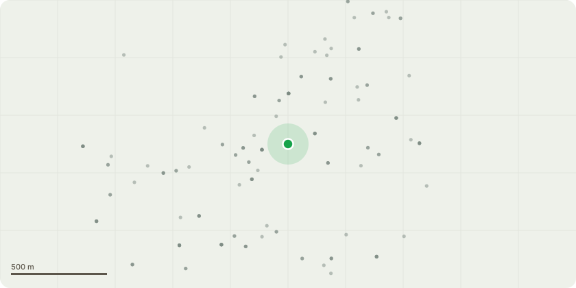
Approximate location
Proposal
T1 - Conifer Tree - Fell - The tree is within very close proximity to the property, there is evidence of root movement which has lifted the concrete as shown in the photos. Upon our site visit the tree was creaking and showing more movement than we would expect. The trees' movement has caused damage to the wall which also has a live electric wire running along the top of it with on of the main trunks pushing against it. The tree is of low amenity, only visual from neighbouring properties, all factors considered we concluded that the tree required immediate removal on this occasion to eliminate the imminent failure of the tree and damage / injury it would have caused** This is a retrospective application, the tree was removed on Thursday 20th February following concerns about the root movement and subsequent weather forecast**
Key dates
- Received 24 Feb 2025
- Validated 24 Feb 2025
- Started 24 Feb 2025
- Decided 9 Apr 2025
Planning history / related applications
No related planning applications have been identified in the current public OGL dataset.
Inside plotEdge
Go beyond the public record
This page is the public OGL record. plotEdge adds the private intelligence layer for this site - open it in the app to unlock:
- Ownership & title Registered owner and title from HM Land Registry.
- Viability & build potential Site scoring and development upside.
- Constraints Flood risk, green belt, conservation areas and designations.
- Approval signal Planning risk and approval-likelihood analysis.
- Comparable applications Decisions on similar nearby sites, side by side.
- Status alerts Get notified the moment this application changes.
Source: public planning application data from Bradford, reused under the Open Government Licence v3.0. View the council source record. Council documents and drawings are not republished on plotEdge.