Bradford
Bradford/25/00358/CPN
36 Rupert Road Ilkley West Yorkshire LS29 0AQ
- Reference
- Bradford/25/00358/CPN
- Authority
- Bradford
- Application type
- CPN
- Address
- 36 Rupert Road Ilkley West Yorkshire LS29 0AQ
- Postcode
- LS29 0AQ
- Status
- Decided
- Decision
- Decline to Determine
- Received
- 30 Jan 2025
- Validated
- 30 Jan 2025
- Started
- 30 Jan 2025
- Decided
- 17 Mar 2025
- Source council
- Bradford
- Council source record
- View public record
- Public data licence
- Open Government Licence v3.0
- Record updated
- 18 Jul 2026
- SEO index generated
- 24 Jul 2026
Location
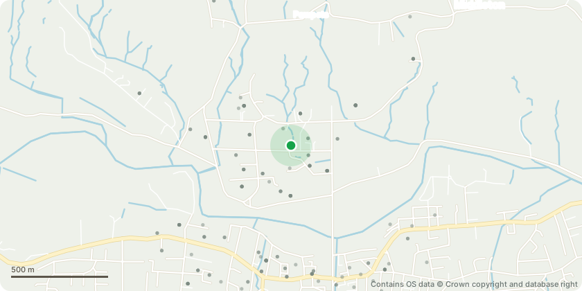
Approximate location - Contains OS data © Crown copyright and database right
Proposal
We are applying for the removal and replacement of two trees on our property. There are no TPOs on these specific trees. They are on the eastern boundary - see site plan file. There are TPOs on the southern boundary trees we are not applying for work on these.There are two trees we would like to remove (A) and (B) see site plan and photos. Both are Cherry Blossom, and we would like to replace them with the same species.There are several reasons for the proposed removal: See application form. We are therefore requesting the opportunity to replace like for like (particularly as there are 2 other cherry trees on the same border (C) and (D) and we would like to retain the line of Cherry Blossom. We would propose replanting one tree (the replacement for (A) at the rear of the property - see site plan (northeastern boundary). And move the location of the other tree (B) only slightly so it can be free of the remaining stumps (which, if permission is granted, we would remove as much as possible) to maintain a line of cherry trees along the boundary.Addition received by email 06/02/2025 - middle cherry tree (tree C) marked as such on Tree A-D.jpg.We propose the following:Tree = 7m approx. currentlyReduce canopy (retaining overall current shape) to 5m.
Key dates
- Received 30 Jan 2025
- Validated 30 Jan 2025
- Started 30 Jan 2025
- Decided 17 Mar 2025
Planning history / related applications
No related planning applications have been identified in the current public OGL dataset.
Inside plotEdge
Go beyond the public record
This page is the public OGL record. plotEdge adds the private intelligence layer for this site - open it in the app to unlock:
- Ownership & title Registered owner and title from HM Land Registry.
- Viability & build potential Site scoring and development upside.
- Constraints Flood risk, green belt, conservation areas and designations.
- Approval signal Planning risk and approval-likelihood analysis.
- Comparable applications Decisions on similar nearby sites, side by side.
- Status alerts Get notified the moment this application changes.
Source: public planning application data from Bradford, reused under the Open Government Licence v3.0. View the council source record. Council documents and drawings are not republished on plotEdge.