Bradford
Bradford/24/04648/TPO
Swiss Cottage 12 Kirklands Lane Baildon West Yorkshire BD17 6EE
- Reference
- Bradford/24/04648/TPO
- Authority
- Bradford
- Application type
- Tree preservation order
- Address
- Swiss Cottage 12 Kirklands Lane Baildon West Yorkshire BD17 6EE
- Postcode
- BD17 6EE
- Status
- Decided
- Decision
- Part Grant Part Refusal of TPO Case
- Received
- 3 Dec 2024
- Validated
- 3 Dec 2024
- Started
- 3 Dec 2024
- Decided
- 25 Feb 2025
- Source council
- Bradford
- Council source record
- View public record
- Public data licence
- Open Government Licence v3.0
- Record updated
- 18 Jul 2026
- SEO index generated
- 24 Jul 2026
Location
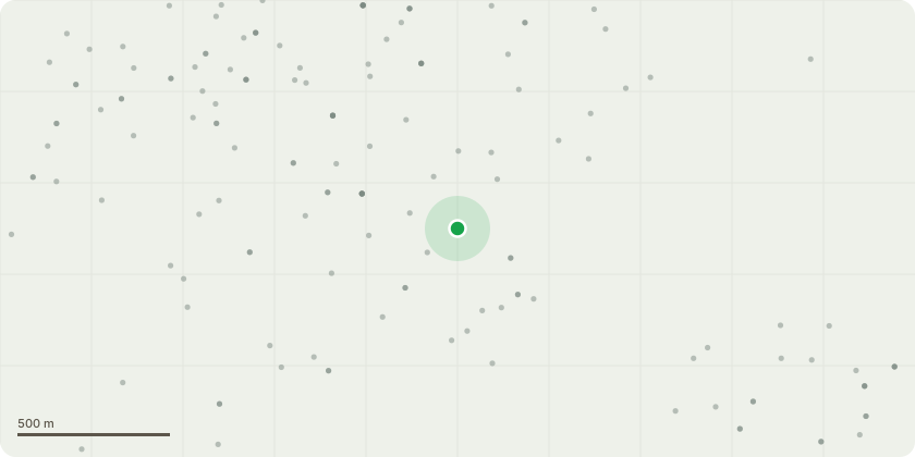
Approximate location
Proposal
T3 Cedar Tree ( T3 416 175 439 139) - Fell. In anticipation of this we have planted a Fastigiated Hornbeam (Carpinus betulus fastigiata) 12-14cm girth in replacement. This is in front of the house as discussed with Mr Keenan, allowing enough space for this tree to grow to its full dimension, unhindered by other trees. Equally distant between the Tulip and a none TOP Oak tree.( see attached plan market in Pink) This was planted mid November inline with advice, to give it the best chance of thriving .I would be happy if we could transfer the TPO to this new tree when the Council is agreeable.T2 - American Tulip Tree around 15 meters in height - Works to be done 15% canopy reduction removing 2.5m from the height and 1.5m from the canopy spread. The tree stands at 15m tall and would require 2.5m removed at the maximum, reducing in height to 12.5m to suitable growth points. The spread would require 0.75 metres all round to reduce the overall spread by 1.5m. The spread currently stands at 10-12m leaving the proposed spread 9-10m removing all branches to suitable growth points.
Key dates
- Received 3 Dec 2024
- Validated 3 Dec 2024
- Started 3 Dec 2024
- Decided 25 Feb 2025
Planning history / related applications
No related planning applications have been identified in the current public OGL dataset.
Inside plotEdge
Go beyond the public record
This page is the public OGL record. plotEdge adds the private intelligence layer for this site - open it in the app to unlock:
- Ownership & title Registered owner and title from HM Land Registry.
- Viability & build potential Site scoring and development upside.
- Constraints Flood risk, green belt, conservation areas and designations.
- Approval signal Planning risk and approval-likelihood analysis.
- Comparable applications Decisions on similar nearby sites, side by side.
- Status alerts Get notified the moment this application changes.
Source: public planning application data from Bradford, reused under the Open Government Licence v3.0. View the council source record. Council documents and drawings are not republished on plotEdge.