Bradford
Bradford/24/04292/CPN
Holme House Low Mill Lane Addingham West Yorkshire LS29 0QP
- Reference
- Bradford/24/04292/CPN
- Authority
- Bradford
- Application type
- CPN
- Address
- Holme House Low Mill Lane Addingham West Yorkshire LS29 0QP
- Postcode
- LS29 0QP
- Status
- Decided
- Decision
- Decline to Determine
- Received
- 7 Nov 2024
- Validated
- 7 Nov 2024
- Started
- 7 Nov 2024
- Decided
- 20 Dec 2024
- Source council
- Bradford
- Council source record
- View public record
- Public data licence
- Open Government Licence v3.0
- Record updated
- 18 Jul 2026
- SEO index generated
- 24 Jul 2026
Location
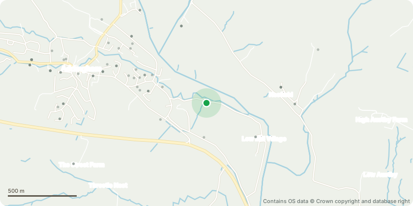
Approximate location - Contains OS data © Crown copyright and database right
Proposal
Retrospective application. T1 Weeping ash - Completely thoroughly rotten. Regularly dropped large primary limbs, even in mild weather. Very little canopy remained. Owners very worried about safety of family and pets activity on the lawn. Actually collapsed during the dismantling process.Informative: If a tree in a conservation area is removed, uprooted or destroyed in contravention of section 211 of the Town and Country Planning Act 1990, the landowner has a duty to plant another tree of an appropriate size and species at the same place as soon as he or she reasonably can. The same duty applies if a tree in a conservation area is removed because it is dead or presents an immediate risk of serious harm. The duty attaches to subsequent owners of the land. Paragraph: 121 Reference ID: 36-121-20140306 Revision date: 06 03 2014
Key dates
- Received 7 Nov 2024
- Validated 7 Nov 2024
- Started 7 Nov 2024
- Decided 20 Dec 2024
Planning history / related applications
No related planning applications have been identified in the current public OGL dataset.
Inside plotEdge
Go beyond the public record
This page is the public OGL record. plotEdge adds the private intelligence layer for this site - open it in the app to unlock:
- Ownership & title Registered owner and title from HM Land Registry.
- Viability & build potential Site scoring and development upside.
- Constraints Flood risk, green belt, conservation areas and designations.
- Approval signal Planning risk and approval-likelihood analysis.
- Comparable applications Decisions on similar nearby sites, side by side.
- Status alerts Get notified the moment this application changes.
Source: public planning application data from Bradford, reused under the Open Government Licence v3.0. View the council source record. Council documents and drawings are not republished on plotEdge.