Bradford
Bradford/24/03768/TPO
1 Hebers Grove Ilkley West Yorkshire LS29 9JR
- Reference
- Bradford/24/03768/TPO
- Authority
- Bradford
- Application type
- Tree preservation order
- Address
- 1 Hebers Grove Ilkley West Yorkshire LS29 9JR
- Postcode
- LS29 9JR
- Status
- Decided
- Decision
- Part Grant Part Refusal of TPO Case
- Received
- 30 Sept 2024
- Validated
- 30 Sept 2024
- Started
- 30 Sept 2024
- Decided
- 14 Jan 2025
- Source council
- Bradford
- Council source record
- View public record
- Public data licence
- Open Government Licence v3.0
- Record updated
- 18 Jul 2026
- SEO index generated
- 24 Jul 2026
Location
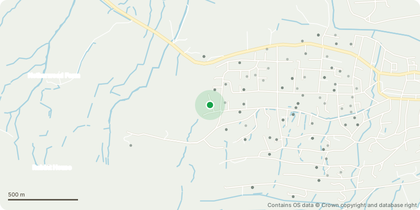
Approximate location - Contains OS data © Crown copyright and database right
Proposal
T1 Beech - Crown lift to 5m.T2,7,12,13,14,16 G17,21 - Larch Remove to ground level. It is proposed that replanting of 5x standard Lime trees evenly distributed along the row in the gaps created should take place, in order to maintain the continuous broadleaf canopy.T3 Sycamore - Crown lift to 5m.T4 Oak - Remove storm damaged limbs. Draw back lower limb to NW by 2-3m to reduce end weight.T5 Beech - Crown lift to 4m.T6 Lime - Remove to ground level and treat stump to prevent regrowth. T8 Lime - Crown lift to 4m.T9 Beech - Crown lift to 4m.T15 Lime - Crown lift to 4m.T18 Lime - Crown lift to 4m. Draw by from property to give 2m clearance.T19 Lime - Crown lift to 4m.G22 T23 Limes - Crown lift to 4m. Thin canopy by 20%.T26 Cedar - Remove dead pegs up to height of first live growth.T28 Beech - Crown lift to 4m.T30 Beech - Crown lift to 4m.T32, 36 Lime - Crown lift to 4m.T37, 38 Lawson Cypress - Fell to ground level. It is proposed that replanting of 2x Oak trees within two metres of the felled trees will maintain the continuous broadleaf canopy.G39 Sawara Cypress - Row of small trees. Fell to ground level.T41 Sycamore - Remove storm damaged branches. Tidy up torn stubs.
Key dates
- Received 30 Sept 2024
- Validated 30 Sept 2024
- Started 30 Sept 2024
- Decided 14 Jan 2025
Planning history / related applications
No related planning applications have been identified in the current public OGL dataset.
Inside plotEdge
Go beyond the public record
This page is the public OGL record. plotEdge adds the private intelligence layer for this site - open it in the app to unlock:
- Ownership & title Registered owner and title from HM Land Registry.
- Viability & build potential Site scoring and development upside.
- Constraints Flood risk, green belt, conservation areas and designations.
- Approval signal Planning risk and approval-likelihood analysis.
- Comparable applications Decisions on similar nearby sites, side by side.
- Status alerts Get notified the moment this application changes.
Source: public planning application data from Bradford, reused under the Open Government Licence v3.0. View the council source record. Council documents and drawings are not republished on plotEdge.