Bradford
Bradford/24/03290/CPN
Greenways Albany Walk Ilkley West Yorkshire LS29 9LZ
- Reference
- Bradford/24/03290/CPN
- Authority
- Bradford
- Application type
- CPN
- Address
- Greenways Albany Walk Ilkley West Yorkshire LS29 9LZ
- Postcode
- LS29 9LZ
- Status
- Decided
- Decision
- Decline to Determine
- Received
- 2 Sept 2024
- Validated
- 2 Sept 2024
- Started
- 2 Sept 2024
- Decided
- 15 Oct 2024
- Source council
- Bradford
- Council source record
- View public record
- Public data licence
- Open Government Licence v3.0
- Record updated
- 18 Jul 2026
- SEO index generated
- 24 Jul 2026
Location
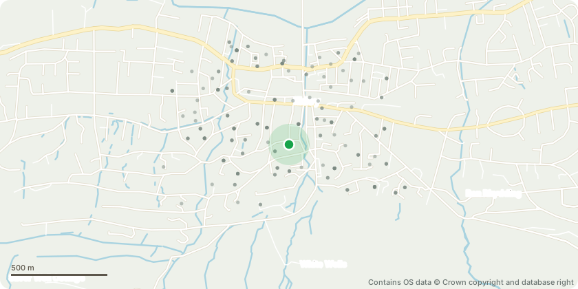
Approximate location - Contains OS data © Crown copyright and database right
Proposal
The liquid amber tree (which is the nearest to the sitting area and the furthest of three liquid amber trees from the road) was badly damaged in the storm on Friday 23 August 2024. The storm broke off the top half of the tree which came down in two substantial portions. The damage has created:1. a badly severed main trunk 2. further down a fissure in the remaining trunk and 3. a tree that is now leaning. The tree is severely compromised in terms of health and appearance and is leaning towards the seating area in the garden. We are concerned that it may become unsafe and if it fell over it could do more damage.It is proposed to fell the tree and replace it with another tree suitable for a garden. We planted the tree about 15 years ago. The tree is marked on the plan.
Key dates
- Received 2 Sept 2024
- Validated 2 Sept 2024
- Started 2 Sept 2024
- Decided 15 Oct 2024
Planning history / related applications
No related planning applications have been identified in the current public OGL dataset.
Inside plotEdge
Go beyond the public record
This page is the public OGL record. plotEdge adds the private intelligence layer for this site - open it in the app to unlock:
- Ownership & title Registered owner and title from HM Land Registry.
- Viability & build potential Site scoring and development upside.
- Constraints Flood risk, green belt, conservation areas and designations.
- Approval signal Planning risk and approval-likelihood analysis.
- Comparable applications Decisions on similar nearby sites, side by side.
- Status alerts Get notified the moment this application changes.
Source: public planning application data from Bradford, reused under the Open Government Licence v3.0. View the council source record. Council documents and drawings are not republished on plotEdge.