Bracknell Forest
Bracknell Forest/PA/2026/0721
RENDCOMBE, TERRACE ROAD SOUTH, BINFIELD, BRACKNELL, RG42 4DN
- Reference
- Bracknell Forest/PA/2026/0721
- Authority
- Bracknell Forest
- Application type
- Tree 5 Day Notification (TR5 Application)
- Address
- RENDCOMBE, TERRACE ROAD SOUTH, BINFIELD, BRACKNELL, RG42 4DN
- Postcode
- RG42 4DN
- Status
- Valid
- Source council
- Bracknell Forest
- Council source record
- View public record
- Public data licence
- Open Government Licence v3.0
- Record updated
- 30 Jul 2026
- SEO index generated
- 31 Jul 2026
Location
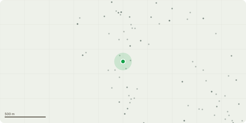
Approximate location
Proposal
Large Beech situated in the North West corner of the property. Believe the property line was moved many years ago so this is possibly included within the Area TPO. Guidance and the law 2014 states Area TPO's are for emergency short term use only however this has been in place since 1995 so falls well out of the criteria so it is impossible to tell if the tree is protected or not. The tree has recently shed a large limb due to summer branch drop and has apparently shed branches into the neighbouring property last year due to similar circumstances. The lower crown appears to show vigorous dense foliage however the upper portion is sparse and well in decline. Remains of a fungal fruiting body although decayed (likely Meripilus Giganteus) pic attached found at the base which would explain the trees inability to supply the upper crown with sufficient water and the shedding of limbs common to this species. Fell tree to ground level as significant risk to life and property on both sides of the property line. Urgent 5 day notice
Planning history / related applications
No related planning applications have been identified in the current public OGL dataset.
Inside plotEdge
Go beyond the public record
This page is the public OGL record. plotEdge adds the private intelligence layer for this site - open it in the app to unlock:
- Ownership & title Registered owner and title from HM Land Registry.
- Viability & build potential Site scoring and development upside.
- Constraints Flood risk, green belt, conservation areas and designations.
- Approval signal Planning risk and approval-likelihood analysis.
- Comparable applications Decisions on similar nearby sites, side by side.
- Status alerts Get notified the moment this application changes.
Source: public planning application data from Bracknell Forest, reused under the Open Government Licence v3.0. View the council source record. Council documents and drawings are not republished on plotEdge.