Bracknell Forest
Bracknell Forest/PA/2026/0615
16, Westwood Grove, Ascot, SL5 8GB
- Reference
- Bracknell Forest/PA/2026/0615
- Authority
- Bracknell Forest
- Application type
- Consent under Tree Preservation Orders
- Address
- 16, Westwood Grove, Ascot, SL5 8GB
- Postcode
- SL5 8GB
- Status
- Under Consultation
- Source council
- Bracknell Forest
- Council source record
- View public record
- Public data licence
- Open Government Licence v3.0
- Record updated
- 12 Jul 2026
- SEO index generated
- 24 Jul 2026
Location
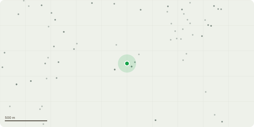
Approximate location
Proposal
Tree Number - T1 Tree Type - Yew (Taxus baccata) Approx. Diameter at 1.5m - 0.4m Approx. Height - 10m Approx. Crown Spread Diameter - 6m Location - See map Service - Section dismantle and grind Work Required - Section dismantle and grind out stump to a depth of approx. 200mm below the stumps current ground level and leave all stump arisings to allow for ground settlement Reason - Die back is present throughout the whole crown, damage to large root observed most likely during construction of the house, biased lean towards the house due to being in competition with much larger and mature trees along the boundary of the property. Given the decline in health of the tree, competition with much larger well established trees as well as damage to root system and proximity to the house removal is recommended. Priority Code - B
Planning history / related applications
No related planning applications have been identified in the current public OGL dataset.
Inside plotEdge
Go beyond the public record
This page is the public OGL record. plotEdge adds the private intelligence layer for this site - open it in the app to unlock:
- Ownership & title Registered owner and title from HM Land Registry.
- Viability & build potential Site scoring and development upside.
- Constraints Flood risk, green belt, conservation areas and designations.
- Approval signal Planning risk and approval-likelihood analysis.
- Comparable applications Decisions on similar nearby sites, side by side.
- Status alerts Get notified the moment this application changes.
Source: public planning application data from Bracknell Forest, reused under the Open Government Licence v3.0. View the council source record. Council documents and drawings are not republished on plotEdge.