Bracknell Forest
Bracknell Forest/PA/2026/0594
FLINT COTTAGE, 8 MARBULL WAY, WARFIELD, BRACKNELL, RG42 2PR
- Reference
- Bracknell Forest/PA/2026/0594
- Authority
- Bracknell Forest
- Application type
- Consent under Tree Preservation Orders
- Address
- FLINT COTTAGE, 8 MARBULL WAY, WARFIELD, BRACKNELL, RG42 2PR
- Postcode
- RG42 2PR
- Status
- Under Consultation
- Source council
- Bracknell Forest
- Council source record
- View public record
- Public data licence
- Open Government Licence v3.0
- Record updated
- 12 Jul 2026
- SEO index generated
- 24 Jul 2026
Location
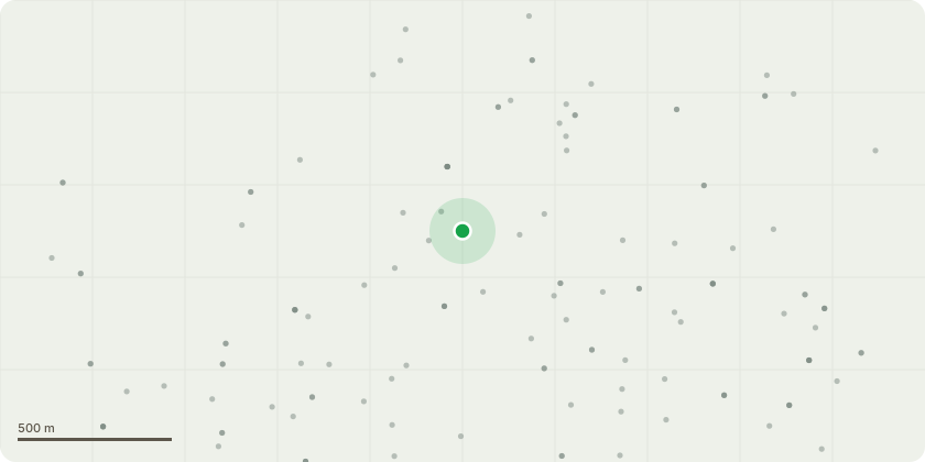
Approximate location
Proposal
TPO89 - T1 - 1 x Oak Tree in Council Land at the rear of property - Reduce the two overextended lateral limbs over garden by up to 3 metres to suitable growth points to reduce end-weight and leverage. Reducing length from 6m to 3m. Plus removal of snapped limb. The reasons for the proposed works are: • To reduce excessive end-weight and leverage on the long overextended lateral limbs, thereby lowering the likelihood of branch failure during periods of high wind loading. • To reduce the sail area of the overhanging branches and improve the long-term structural balance of the crown. • To mitigate the risk posed by large branches overhanging an area of regular residential use, including the garden, boundary fence and associated property. • To address the presence of minor dieback within the affected branch structure and reduce mechanical stress on the remaining live growth. • To maintain the tree in a safe and sustainable condition through minimal arboricultural intervention, whilst retaining the tree’s amenity value, overall form and contribution to local landscape character. The proposed works are limited to the outer extremities of the two overextended limbs and are not intended to alter the overall size, appearance or health of the tree beyond improving branch loading and reducing the risk of future limb failure.
Planning history / related applications
No related planning applications have been identified in the current public OGL dataset.
Inside plotEdge
Go beyond the public record
This page is the public OGL record. plotEdge adds the private intelligence layer for this site - open it in the app to unlock:
- Ownership & title Registered owner and title from HM Land Registry.
- Viability & build potential Site scoring and development upside.
- Constraints Flood risk, green belt, conservation areas and designations.
- Approval signal Planning risk and approval-likelihood analysis.
- Comparable applications Decisions on similar nearby sites, side by side.
- Status alerts Get notified the moment this application changes.
Source: public planning application data from Bracknell Forest, reused under the Open Government Licence v3.0. View the council source record. Council documents and drawings are not republished on plotEdge.