Bracknell Forest
Bracknell Forest/PA/2026/0384
STEWART HOUSE, 21 SEYMOUR DRIVE, ASCOT, SL5 8FX
- Reference
- Bracknell Forest/PA/2026/0384
- Authority
- Bracknell Forest
- Application type
- Consent under Tree Preservation Orders
- Address
- STEWART HOUSE, 21 SEYMOUR DRIVE, ASCOT, SL5 8FX
- Postcode
- SL5 8FX
- Status
- Decision Made
- Source council
- Bracknell Forest
- Council source record
- View public record
- Public data licence
- Open Government Licence v3.0
- Record updated
- 12 Jul 2026
- SEO index generated
- 24 Jul 2026
Location
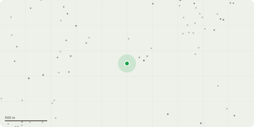
Approximate location
Proposal
Proposed work: tree #2 on the sketch provided: Pine tree located adjacent to my property's south boundary - Fell (See below for further guidance from expert) tree #1 on the sketch provided: Sweet Chetsnut - Pruning following further guidance from expert (See below) Expert Report: Following up from yesterday’s site assessment regarding the location of the replacement Scots Pine, conditioned in respect of the removal of T1 Pine of tree work application 25/00207/TRTPO, the attached plan indicates the 2 most appropriate locations for the new tree. Given the maturity of the adjacent residual trees that comprise ‘woodland’ designation W2, spanning the rear of your property, it is important to ensure the new tree is, as far as is possible, planted under a gap in the above canopy. It light of what I witnessed the most foreseeably ideal location would be to plant the Pine to the north side of your property. With regard the consideration of the additional Pine located adjacent to your property’s south boundary (#2 on the sketch) , mentioned in Sarah’s delegated report, copy attached for convenience, its condition is clearly struggling, and the removal of the moribund branch would foreseeably lead to further physiological and structural stress for this tree. On this basis, and to avoid any onerous burden, its removal would be acceptable if a fresh application were to be submitted. Whilst T3 Sweet chestnut’s work proposal, in accordance with 25/00207/TRTPO, was refused, there is scope to carry out peripheral reduction on the East side of its crown, only. The crown extends circa 14m East, the outer approximate 2/3m of has suitable pruning points that would withstand shortening of no more than 1.5m, be consistent with current arboricultural standards and would proportionately adjust T3’s form due to the consented pending removal of T1 Pine.
Planning history / related applications
No related planning applications have been identified in the current public OGL dataset.
Inside plotEdge
Go beyond the public record
This page is the public OGL record. plotEdge adds the private intelligence layer for this site - open it in the app to unlock:
- Ownership & title Registered owner and title from HM Land Registry.
- Viability & build potential Site scoring and development upside.
- Constraints Flood risk, green belt, conservation areas and designations.
- Approval signal Planning risk and approval-likelihood analysis.
- Comparable applications Decisions on similar nearby sites, side by side.
- Status alerts Get notified the moment this application changes.
Source: public planning application data from Bracknell Forest, reused under the Open Government Licence v3.0. View the council source record. Council documents and drawings are not republished on plotEdge.