Bracknell Forest
Bracknell Forest/PA/2026/0345
WARFIELD HOUSE, BRACKNELL ROAD, WARFIELD, BRACKNELL, RG42 6BJ
- Reference
- Bracknell Forest/PA/2026/0345
- Authority
- Bracknell Forest
- Application type
- Consent under Tree Preservation Orders
- Address
- WARFIELD HOUSE, BRACKNELL ROAD, WARFIELD, BRACKNELL, RG42 6BJ
- Postcode
- RG42 6BJ
- Status
- Decision Made
- Source council
- Bracknell Forest
- Council source record
- View public record
- Public data licence
- Open Government Licence v3.0
- Record updated
- 12 Jul 2026
- SEO index generated
- 24 Jul 2026
Location
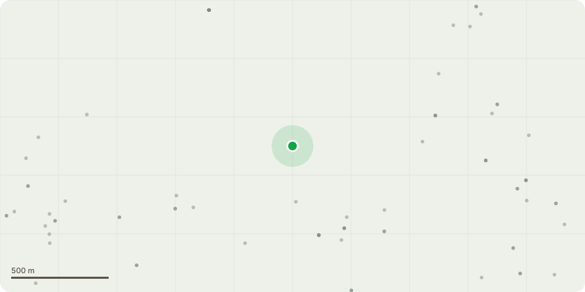
Approximate location
Proposal
Please refer to the submitted spreadsheet (see tab named "TPO application") and the x2 tree location plans. The proposed work is generally the minimum required to reduce the risk of failure of the defective part of the subject tree(s). Where this might leave the tree visually unbalanced, further work may be suggested to address this. Where hazards might be identified in relatively unremarkable and low value trees, felling may be appropriate as a more pragmatic, cost-effective and sustainable approach than remedial pruning. Consent 25/00022/TRTPO was granted for work at this site following the 2024 hazard survey. Most of the high priority work (anything within 6 months) was undertaken. That consent runs out on the 24th April 2026. The attached spreadsheet for this new application records where any work in that consent was not completed to assist BFC tree team in terms of conditional replacement planting enforcement.
Planning history / related applications
No related planning applications have been identified in the current public OGL dataset.
Inside plotEdge
Go beyond the public record
This page is the public OGL record. plotEdge adds the private intelligence layer for this site - open it in the app to unlock:
- Ownership & title Registered owner and title from HM Land Registry.
- Viability & build potential Site scoring and development upside.
- Constraints Flood risk, green belt, conservation areas and designations.
- Approval signal Planning risk and approval-likelihood analysis.
- Comparable applications Decisions on similar nearby sites, side by side.
- Status alerts Get notified the moment this application changes.
Source: public planning application data from Bracknell Forest, reused under the Open Government Licence v3.0. View the council source record. Council documents and drawings are not republished on plotEdge.