Bracknell Forest
Bracknell Forest/PA/2026/0271
16 BLAKE CLOSE, CROWTHORNE, RG45 7LF
- Reference
- Bracknell Forest/PA/2026/0271
- Authority
- Bracknell Forest
- Application type
- Consent under Tree Preservation Orders
- Address
- 16 BLAKE CLOSE, CROWTHORNE, RG45 7LF
- Postcode
- RG45 7LF
- Status
- Decision Made
- Source council
- Bracknell Forest
- Council source record
- View public record
- Public data licence
- Open Government Licence v3.0
- Record updated
- 12 Jul 2026
- SEO index generated
- 24 Jul 2026
Location
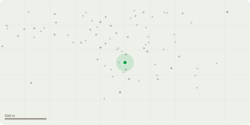
Approximate location
Proposal
Oak Tree T6 on sketch plan Fell to ground level. We are seeking permission to fell this tree, as it has a very substantial lean and has grown very one-sided due to being boxed in by other trees around it. My client is very concerned that this tree could fall into her house one day, as it is rather tall and in the pictures, it can be seen that the lean is rather severe. The tree leans directly over the family's bedrooms, which causes her even more concern. Also, when in leaf, the tree blocks most of the sunlight to the garden, plus there are already some protected council trees on the right-hand side of it. We believe a reduction wouldnt really achieve much in this case, as I think we would really only be allowed to prune back 1-1.5 meters, which would be a feat in its own right and would require a large mewp due to the leggy, thin branches. The tree also drops a vast amount of leaves that keep blocking my clients' gutters. My client would be happy to re-plant a more manageable tree in the oak's place.
Planning history / related applications
No related planning applications have been identified in the current public OGL dataset.
Inside plotEdge
Go beyond the public record
This page is the public OGL record. plotEdge adds the private intelligence layer for this site - open it in the app to unlock:
- Ownership & title Registered owner and title from HM Land Registry.
- Viability & build potential Site scoring and development upside.
- Constraints Flood risk, green belt, conservation areas and designations.
- Approval signal Planning risk and approval-likelihood analysis.
- Comparable applications Decisions on similar nearby sites, side by side.
- Status alerts Get notified the moment this application changes.
Source: public planning application data from Bracknell Forest, reused under the Open Government Licence v3.0. View the council source record. Council documents and drawings are not republished on plotEdge.