Bracknell Forest
Bracknell Forest/PA/2026/0261
6 BLACKMOOR WOOD, ASCOT, SL5 8EN
- Reference
- Bracknell Forest/PA/2026/0261
- Authority
- Bracknell Forest
- Application type
- Consent under Tree Preservation Orders
- Address
- 6 BLACKMOOR WOOD, ASCOT, SL5 8EN
- Postcode
- SL5 8EN
- Status
- Decision Made
- Source council
- Bracknell Forest
- Council source record
- View public record
- Public data licence
- Open Government Licence v3.0
- Record updated
- 12 Jul 2026
- SEO index generated
- 24 Jul 2026
Location
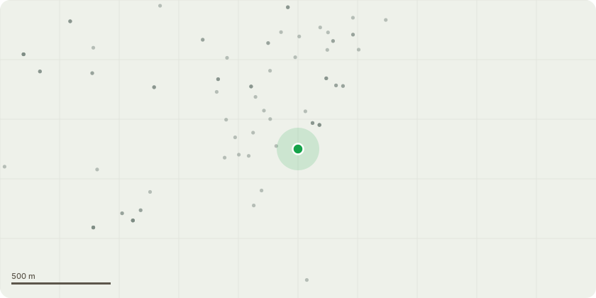
Approximate location
Proposal
Tree believed protected under TPO 481 – Group G1. Tree reference on attached site plan: T06 – Beech (highlighted red). Location: Road frontage, approx. 5 metres from the dwelling and directly adjacent to a well-used public footpath. Proposed Works: Complete removal (sectional dismantling) to ground level of T06 Beech. All works to be undertaken by a qualified and insured arborist in accordance with BS3998:2010 – Tree Work Recommendations. Reasons for Proposed Works: Following inspection by two independent licensed arborists, Paul Avery (PA Tree Care) and Jody (Clear Cut Gardens Tree Care & Landscape), full removal is recommended based on the following: Structural Condition & Decay: The tree is over-mature. There is a significant trunk wound with exposed sapwood from ground level to approx. 2m on the western side (approx. 35cm wide at base). Basal hollowing is present behind and above the wound. Daldinia concentrica fruiting bodies are visible at approx. 1.8m, indicating decay and compromised structural integrity. There is evidence of internal decay within the lower stem. Crown Condition: Extensive deadwood is present in the upper crown. Multiple branches retain leaves consistent with branch death. Deadwood has begun to detach and fall. Structural Weakness: A tight fork union increases the risk of structural failure under load. Public Safety Risk: The tree is directly adjacent to a heavily used public footpath near LVS School and approx. 5 metres from the dwelling. Deadwood has already fallen onto the house frontage and the public footpath. Given the decay, fungal activity, basal hollowing and falling deadwood, there is a foreseeable and increasing risk of branch or partial stem failure, with potential for pedestrian injury and property damage. Due to its roadside position and high foot traffic, risk exposure is significant. Consideration of Alternatives: We initially sought advice for minor deadwood works. However, both arborists concluded that crown reduction would not address basal decay, dead-wooding alone would not mitigate structural risk, and retention would present ongoing liability concerns. Removal is therefore considered the only reasonable risk mitigation option. Replacement Planting: We are willing to comply with a replacement planting condition, provided it does not adversely affect the remaining trees. Supporting Information Submitted: In accordance with guidance below, we have included a sketch plan showing boundaries, road, footpath, adjacent properties and T06 marked in red; photographs showing the trunk wound, basal hollow, black fungus, crown deadwood and tight fork union; and referenced observations from two licensed arborists. Urgency: While catastrophic failure has not occurred, the decay, falling deadwood and proximity to a school route and public footpath present a foreseeable risk. We respectfully request timely consideration to mitigate potential injury.
Planning history / related applications
No related planning applications have been identified in the current public OGL dataset.
Inside plotEdge
Go beyond the public record
This page is the public OGL record. plotEdge adds the private intelligence layer for this site - open it in the app to unlock:
- Ownership & title Registered owner and title from HM Land Registry.
- Viability & build potential Site scoring and development upside.
- Constraints Flood risk, green belt, conservation areas and designations.
- Approval signal Planning risk and approval-likelihood analysis.
- Comparable applications Decisions on similar nearby sites, side by side.
- Status alerts Get notified the moment this application changes.
Source: public planning application data from Bracknell Forest, reused under the Open Government Licence v3.0. View the council source record. Council documents and drawings are not republished on plotEdge.