Bracknell Forest
Bracknell Forest/25/00301/FUL
Sandhurst Town Football Club Yorktown Road Sandhurst Berkshire GU47 9BJ
- Reference
- Bracknell Forest/25/00301/FUL
- Authority
- Bracknell Forest
- Application type
- Full planning permission
- Address
- Sandhurst Town Football Club Yorktown Road Sandhurst Berkshire GU47 9BJ
- Postcode
- GU47 9BJ
- Status
- Under Consultation
- Source council
- Bracknell Forest
- Council source record
- View public record
- Public data licence
- Open Government Licence v3.0
- Record updated
- 12 Jul 2026
- SEO index generated
- 24 Jul 2026
Location
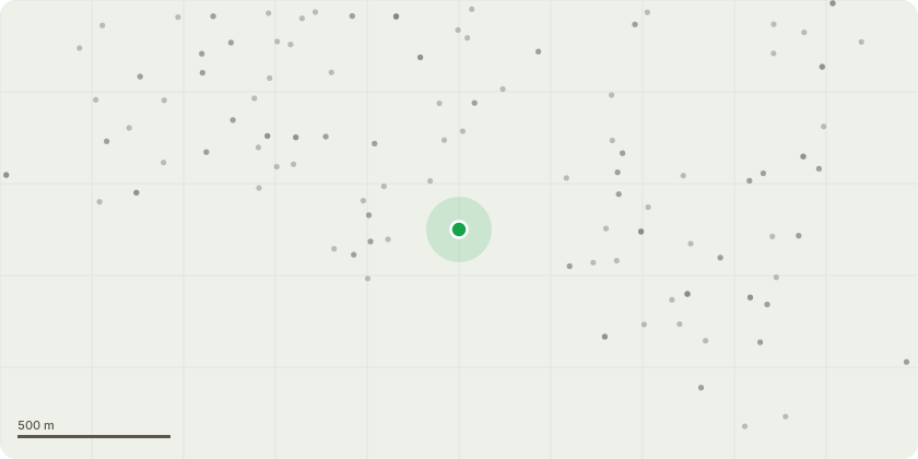
Approximate location
Proposal
Full planning application for single storey extensions to clubhouse, including plant room, storage and refreshment area adjacent to clubhouse, conversion of existing prefabricated structure to matchday committee room on south-west side of pitch, addition of maintenance storage container on south-east side of pitch. To improve drainage, the addition of channel drainage around perimeter of pitch, installing a French drain and construction of attenuation tank beneath the pitch. The change from non-permeable concrete car park north of clubhouse to permeable tarmac and associated soakaways alongside the retrospective use of parking facilities at Sandhurst Memorial Ground, Pyes Acre and Shepherd Meadow. Modifications to the spectator stands including removal of all seats from the Jill Levey Stand and the relocation of this stand to the south-east side of the pitch. This relocation will also accommodate enhancements to the Tony Dean Stand, increasing its seating capacity to 298, as well as the addition of a club shop, toilets, and a medical room.
Planning history / related applications
No related planning applications have been identified in the current public OGL dataset.
Inside plotEdge
Go beyond the public record
This page is the public OGL record. plotEdge adds the private intelligence layer for this site - open it in the app to unlock:
- Ownership & title Registered owner and title from HM Land Registry.
- Viability & build potential Site scoring and development upside.
- Constraints Flood risk, green belt, conservation areas and designations.
- Approval signal Planning risk and approval-likelihood analysis.
- Comparable applications Decisions on similar nearby sites, side by side.
- Status alerts Get notified the moment this application changes.
Source: public planning application data from Bracknell Forest, reused under the Open Government Licence v3.0. View the council source record. Council documents and drawings are not republished on plotEdge.