Bournemouth, Christchurch and Poole
Bournemouth, Christchurch and Poole/TP/24/00948/X
THE LAKE, 52 Compton Avenue, POOLE, BH14 8PY
- Reference
- Bournemouth, Christchurch and Poole/TP/24/00948/X
- Authority
- Bournemouth, Christchurch and Poole
- Application type
- Tree work to tree/s subject to a TPO
- Address
- THE LAKE, 52 Compton Avenue, POOLE, BH14 8PY
- Postcode
- BH14 8PY
- Status
- Application Approved Skip to tab content. Track this application × To subscribe and follow this planning application please provide us with your full name and email address. Name Email Subscribe Cancel Planning online
- Decision
- Granted
- Received
- 1 Nov 2024
- Started
- 1 Nov 2024
- Decided
- 31 Dec 2024
- Source council
- Bournemouth, Christchurch and Poole
- Council source record
- View public record
- Public data licence
- Open Government Licence v3.0
- Record updated
- 18 Jul 2026
- SEO index generated
- 24 Jul 2026
Location
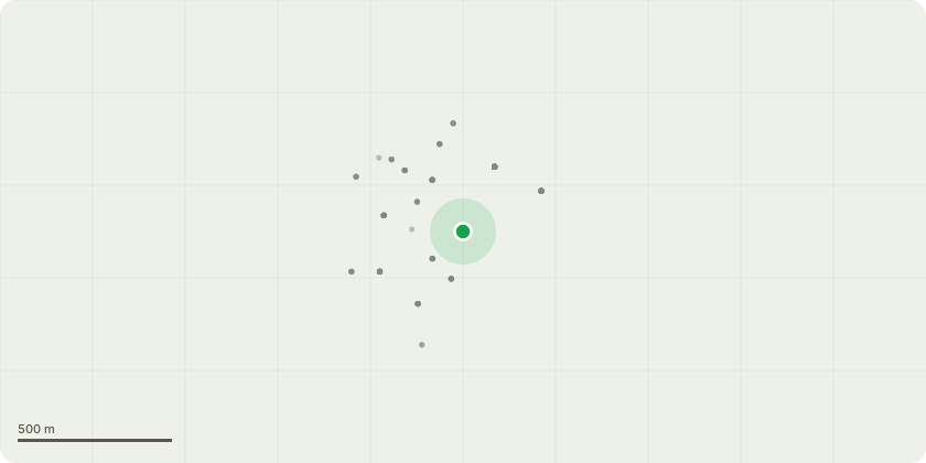
Approximate location
Proposal
Proposed Work: T,1 cedar. T,2 maritime pine We propose a hard cut back of approximately 2.5-3 metres on both the Cedar and Maritime Pine trees to alleviate structural concerns, enhance property safety, and ensure long-term tree health. Justifications for Proposed Works: 1. Prevention of Property Damage: The Cedar tree’s branches are extending heavily over the property, while the Maritime Pine is located extremely close to the building. This proximity poses a substantial risk to the structure in the event of high winds or branch failure. Regular weather fluctuations and storms increase the likelihood of damage from overhanging branches or falling limbs, justifying the need for a precautionary cut back. 2. Improving Tree Health and Structural Integrity: Hard pruning will enhance the stability and health of both trees. Reducing the crown load by 2.5-3 metres can help balance the trees structurally, particularly for the Cedar, which shows excessive growth toward the property. Pruning can mitigate limb stress, thereby reducing the potential for breakage, which is essential for trees growing near inhabited structures. 3. Mitigation of Excessive Shading and Leaf Drop: The Cedar tree’s overextended canopy contributes to excessive shading, which can impact the living conditions within the property by reducing natural light. Additionally, both trees contribute significant leaf and needle drop onto the building, potentially clogging gutters and drainage systems, which may lead to water damage. 4. Public Safety: Given the height and structure of these trees, their proximity to the building creates potential safety hazards, particularly if branches fall or if the trees destabilise over time. This cut back would act as a preventative measure, minimizing risks to occupants and neighbouring properties. Conclusion: The proposed work will maintain the trees’ health while addressing structural and safety concerns. By carefully reducing the canopy, we aim to preserve the aesthetics and environmental contributions of the trees without compromising the integrity of the property. We believe this request aligns with local council guidelines on responsible tree management and would fulfil obligations to both safety and conservation.
Key dates
- Received 1 Nov 2024
- Started 1 Nov 2024
- Decided 31 Dec 2024
Planning history / related applications
No related planning applications have been identified in the current public OGL dataset.
Inside plotEdge
Go beyond the public record
This page is the public OGL record. plotEdge adds the private intelligence layer for this site - open it in the app to unlock:
- Ownership & title Registered owner and title from HM Land Registry.
- Viability & build potential Site scoring and development upside.
- Constraints Flood risk, green belt, conservation areas and designations.
- Approval signal Planning risk and approval-likelihood analysis.
- Comparable applications Decisions on similar nearby sites, side by side.
- Status alerts Get notified the moment this application changes.
Source: public planning application data from Bournemouth, Christchurch and Poole, reused under the Open Government Licence v3.0. View the council source record. Council documents and drawings are not republished on plotEdge.