Bournemouth, Christchurch and Poole
Bournemouth, Christchurch and Poole/TP/24/00565/X
4 Orchard Avenue, Poole, BH14 8AJ
- Reference
- Bournemouth, Christchurch and Poole/TP/24/00565/X
- Authority
- Bournemouth, Christchurch and Poole
- Application type
- Tree work to tree/s subject to a TPO
- Address
- 4 Orchard Avenue, Poole, BH14 8AJ
- Postcode
- BH14 8AJ
- Status
- No Objections Raised Skip to tab content. Track this application × To subscribe and follow this planning application please provide us with your full name and email address. Name Email Subscribe Cancel Planning online
- Decision
- No objections raised
- Received
- 12 Aug 2024
- Started
- 12 Aug 2024
- Decided
- 1 Oct 2024
- Source council
- Bournemouth, Christchurch and Poole
- Council source record
- View public record
- Public data licence
- Open Government Licence v3.0
- Record updated
- 18 Jul 2026
- SEO index generated
- 24 Jul 2026
Location
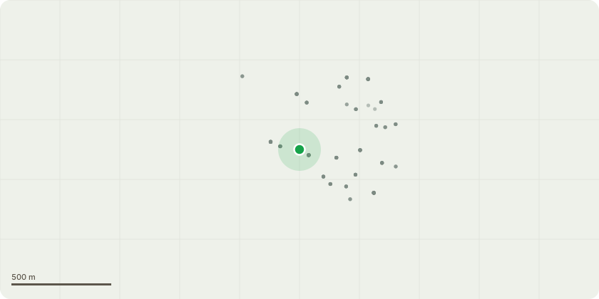
Approximate location
Proposal
T1 - Albiza julibrissin - Reduce by approx. 2m as needed and remove all debris. Reason is to clear overhang. T2 - Laurus nobilis - Reduce back to fence line as needed and remove all debris. Remove Cypress group. Fell to ground level and dig out stumps Reason is to clear overhang. T3 - Camellia japonica -Shear new growth into shape as needed and. Remove all debris. Reason - reduce size of shrubs. T4 - Helix hedera - Remove from building as much as possible as needed and remove all debris. Reason - clear building. T5 - Wisteria sinensis - Reduce and/or remove branches and train around frame as needed and remove all debris. Reason - train into shape. All above are at the back of the property
Key dates
- Received 12 Aug 2024
- Started 12 Aug 2024
- Decided 1 Oct 2024
Planning history / related applications
No related planning applications have been identified in the current public OGL dataset.
Inside plotEdge
Go beyond the public record
This page is the public OGL record. plotEdge adds the private intelligence layer for this site - open it in the app to unlock:
- Ownership & title Registered owner and title from HM Land Registry.
- Viability & build potential Site scoring and development upside.
- Constraints Flood risk, green belt, conservation areas and designations.
- Approval signal Planning risk and approval-likelihood analysis.
- Comparable applications Decisions on similar nearby sites, side by side.
- Status alerts Get notified the moment this application changes.
Source: public planning application data from Bournemouth, Christchurch and Poole, reused under the Open Government Licence v3.0. View the council source record. Council documents and drawings are not republished on plotEdge.