Bournemouth, Christchurch and Poole
Bournemouth, Christchurch and Poole/TP/23/00832/X
19 Western Avenue, Poole, BH13 7AN
- Reference
- Bournemouth, Christchurch and Poole/TP/23/00832/X
- Authority
- Bournemouth, Christchurch and Poole
- Application type
- Tree work to tree/s subject to a TPO
- Address
- 19 Western Avenue, Poole, BH13 7AN
- Postcode
- BH13 7AN
- Status
- Application Approved Skip to tab content. Track this application × To subscribe and follow this planning application please provide us with your full name and email address. Name Email Subscribe Cancel Planning online
- Decision
- Granted
- Received
- 15 Sept 2023
- Started
- 15 Sept 2023
- Decided
- 27 Nov 2023
- Source council
- Bournemouth, Christchurch and Poole
- Council source record
- View public record
- Public data licence
- Open Government Licence v3.0
- Record updated
- 18 Jul 2026
- SEO index generated
- 24 Jul 2026
Location
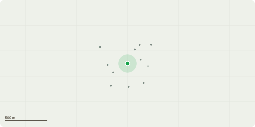
Approximate location
Proposal
T1-Yew tree next to entrance to be crown lifted to 4.5m. This will help to allow light to pass under the tree as well as lifting the canopy up and away from the pavement and road. The lower branches are long heavy branches and prone to snapping out. This will help relieve weight. T2-Chestnut tree next to yew to have heavy lateral limb overhanging the road reduced by up to 2m back to appropriate growth points. This is heavy lateral branch so a reduction will help to reduce weight and reduce chance of limb failure. As this branch is over the pavement it's a higher risk to the public. T3-2x sycamore trees along roadside to be thinned out by 10% by removing crossing and damaged branches. To also crown lift the garden side up to 4m to help allow more light to pass under the trees. The lower branches are very long pendulous branches. T4-Small twin stem silver birch along front boundary to be dismantled down to ground level. This is a poorly formed tree competing with more mature trees. T5-Struggling cherry tree along the right boundary next to the pool to be reduced by up to 3m to encourage new healthier growth. This tree is clearly in decline. A reduction should encourage healthy growth. T6-thuja in rear garden along the rear boundary to be crown lifted to 5m. This will help tidy up the lower canopy and improve the overall look of the tree. T7-holm oak tree in the centre of the rear garden to be thinned out. This is a dense tree with a lot of stems. This tree was once pollarded and as a result it's now a heavily crowded canopy allowing very little light to pass through. T8-Acacia overhanging the drive to be dismantled down to ground level. This tree has a very poor union at roughly 6ft with large old wounds on a number of the primary limbs. The bark appears to be breaking of and there are large rubbing and damaged limbs within the canopy. As the tree overhangs the drive way this makes it a bigger risk of causing damage or injury if it fails. T9- Thuja to be crown lifted up to 4.5m on the North-East side to match the reaming canopy. This will also help lift the canopy up from the drive and flower bed. Only remind small diameter branches no bigger than 40mm. T10- poorly formed Scot's Pine along the rear boundary to be dismantled down to ground level. This tree is growing at a bad angle as has a very poor/small canopy. I don't believe this tree has any longevity and is suppressed by the neighbouring trees.
Key dates
- Received 15 Sept 2023
- Started 15 Sept 2023
- Decided 27 Nov 2023
Planning history / related applications
No related planning applications have been identified in the current public OGL dataset.
Inside plotEdge
Go beyond the public record
This page is the public OGL record. plotEdge adds the private intelligence layer for this site - open it in the app to unlock:
- Ownership & title Registered owner and title from HM Land Registry.
- Viability & build potential Site scoring and development upside.
- Constraints Flood risk, green belt, conservation areas and designations.
- Approval signal Planning risk and approval-likelihood analysis.
- Comparable applications Decisions on similar nearby sites, side by side.
- Status alerts Get notified the moment this application changes.
Source: public planning application data from Bournemouth, Christchurch and Poole, reused under the Open Government Licence v3.0. View the council source record. Council documents and drawings are not republished on plotEdge.