Bournemouth, Christchurch and Poole
Bournemouth, Christchurch and Poole/TP/23/00415/X
Flat 2, 15 Ravine Road, Poole, BH13 7HT
- Reference
- Bournemouth, Christchurch and Poole/TP/23/00415/X
- Authority
- Bournemouth, Christchurch and Poole
- Application type
- Tree work to tree/s subject to a TPO
- Address
- Flat 2, 15 Ravine Road, Poole, BH13 7HT
- Postcode
- BH13 7HT
- Status
- Application Approved Skip to tab content. Track this application × To subscribe and follow this planning application please provide us with your full name and email address. Name Email Subscribe Cancel Planning online
- Decision
- Granted
- Received
- 22 Jul 2023
- Started
- 22 Jul 2023
- Decided
- 20 Sept 2023
- Source council
- Bournemouth, Christchurch and Poole
- Council source record
- View public record
- Public data licence
- Open Government Licence v3.0
- Record updated
- 18 Jul 2026
- SEO index generated
- 24 Jul 2026
Location
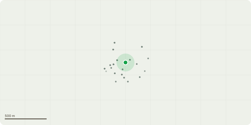
Approximate location
Proposal
T1 Leyland Cypress - reduce down to 5 metres (under half the height) T2 & T3 Leyland Cypress - Fell Leyland cypress - Reduction to a safe height on both sides (corners of garden) to be carried out by tree surgeons. (ideally only on the right side corner - I would like to remove these two, as the Village hall carried approved work on them I believe it was 2019 to remove the overhang on there side to allow light, so one side of it has already gone. Replacing with a manageable 15ft? mature evergreen type, to be recommended. Rear garden / both left & right corners - these look like 2 x individual trees when stood back but to the left side is made up of many smaller trunks (split either side of myself & my neighbour above - we are Flat 1 & 2) and on the right side it is 2 trunks (one being on a 45 degree as it comes out the ground. These are becoming a great concern in the recent winds each year and I have already had one of the middle sections come down, fortunately into my garden and not the rear neighbours or the Mazda garage next door. Now in the winds they are crack and parting through the middle as they are of such a height! I will attach images but also have videos too.
Key dates
- Received 22 Jul 2023
- Started 22 Jul 2023
- Decided 20 Sept 2023
Planning history / related applications
No related planning applications have been identified in the current public OGL dataset.
Inside plotEdge
Go beyond the public record
This page is the public OGL record. plotEdge adds the private intelligence layer for this site - open it in the app to unlock:
- Ownership & title Registered owner and title from HM Land Registry.
- Viability & build potential Site scoring and development upside.
- Constraints Flood risk, green belt, conservation areas and designations.
- Approval signal Planning risk and approval-likelihood analysis.
- Comparable applications Decisions on similar nearby sites, side by side.
- Status alerts Get notified the moment this application changes.
Source: public planning application data from Bournemouth, Christchurch and Poole, reused under the Open Government Licence v3.0. View the council source record. Council documents and drawings are not republished on plotEdge.