Bournemouth, Christchurch and Poole
Bournemouth, Christchurch and Poole/TP/22/00878/X
Lake Farm, Willett Road, Wimborne, BH21 3DH
- Reference
- Bournemouth, Christchurch and Poole/TP/22/00878/X
- Authority
- Bournemouth, Christchurch and Poole
- Application type
- Tree work in a Conservation Area
- Address
- Lake Farm, Willett Road, Wimborne, BH21 3DH
- Postcode
- BH21 3DH
- Status
- No Objections Raised Skip to tab content. Track this application × To subscribe and follow this planning application please provide us with your full name and email address. Name Email Subscribe Cancel Planning online
- Decision
- No objections raised
- Received
- 25 Oct 2022
- Started
- 25 Oct 2022
- Decided
- 16 Nov 2022
- Source council
- Bournemouth, Christchurch and Poole
- Council source record
- View public record
- Public data licence
- Open Government Licence v3.0
- Record updated
- 18 Jul 2026
- SEO index generated
- 24 Jul 2026
Location
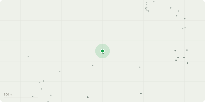
Approximate location
Proposal
T1 Beech Tree - reduce back down to two metres so as to incorporate it into the hedge. Twenty two years ago I planted a beech hedge to one side of the driveway to our property and allowed one beech plant to grow unpruned. I, foolishly, did not realise this hedging plant would grow into a full size woodland tree which it is now doing. The tree is now about ten metres high and is interfering with our telephone and internet cables. The tree is only about eight metres from the gable end of our house and less than three metres from our neighbour's outbuilding which it overhangs. We are worried that, as the frequency of strong wind events increases, the tree could blow over onto our house and bring down the chimney causing extensive damage and injuries. Should it fall the other way it would crush our neighbour's stable block possibly injuring the horses within.
Key dates
- Received 25 Oct 2022
- Started 25 Oct 2022
- Decided 16 Nov 2022
Planning history / related applications
No related planning applications have been identified in the current public OGL dataset.
Inside plotEdge
Go beyond the public record
This page is the public OGL record. plotEdge adds the private intelligence layer for this site - open it in the app to unlock:
- Ownership & title Registered owner and title from HM Land Registry.
- Viability & build potential Site scoring and development upside.
- Constraints Flood risk, green belt, conservation areas and designations.
- Approval signal Planning risk and approval-likelihood analysis.
- Comparable applications Decisions on similar nearby sites, side by side.
- Status alerts Get notified the moment this application changes.
Source: public planning application data from Bournemouth, Christchurch and Poole, reused under the Open Government Licence v3.0. View the council source record. Council documents and drawings are not republished on plotEdge.