Bournemouth, Christchurch and Poole
Bournemouth, Christchurch and Poole/TP/21/00803/X
Bournemouth University, Fern Barrow, Poole, BH12 5BB
- Reference
- Bournemouth, Christchurch and Poole/TP/21/00803/X
- Authority
- Bournemouth, Christchurch and Poole
- Application type
- Tree work to tree/s subject to a TPO
- Address
- Bournemouth University, Fern Barrow, Poole, BH12 5BB
- Postcode
- BH12 5BB
- Status
- Application Approved Skip to tab content. Track this application × To subscribe and follow this planning application please provide us with your full name and email address. Name Email Subscribe Cancel Planning online
- Decision
- Granted
- Received
- 30 Sept 2021
- Started
- 30 Sept 2021
- Decided
- 17 Dec 2021
- Source council
- Bournemouth, Christchurch and Poole
- Council source record
- View public record
- Public data licence
- Open Government Licence v3.0
- Record updated
- 18 Jul 2026
- SEO index generated
- 24 Jul 2026
Location
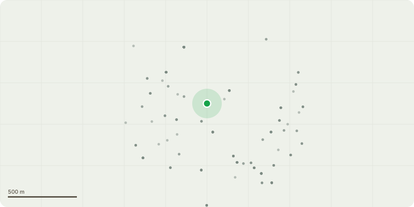
Approximate location
Proposal
1. 4 x Raywwod Ash tree. Crown ift to 3 metres above pavement and remove dead wood *Reason: Too low over the pavement, dead wood 2. 2 x Pines mainlawn front of Poole house. Dead wood in crown. Remove dead wood. 3. 1 x Silver Birch Dead. Fell *Reason: Dead tree 4. 1 x Sorbus tree. Not found. 5. 3 x Norway Maples Rear of Kimmerage House by Polly tunnel. Ivy band trees. *Reason: Touching structure could cause damage and light issues 6. 1 x Oak. Tag 276 side of bike compound. Crown lift to 4 metres over path/carpark and remove dead wood. Remove dead top on 1x small Field maple. *Reason: Too low over path and carpark, dead top 7. Oak Tag 600 By contractors compound. Crown lift to 4 metres over path/carpark and remove dead wood. *Reason: Too low over path and carpark 8. 1 x Lime next to Drumbank. Prune to allow 1 metre clear. *Reason: Touching drumbank 9. London Plane. Crown Lift to 3 metres above ground level and 1 meter from building. *Reason: Too close to the building 10. Group of Sycamores Crown lift to 3.5 metres over car park. *Reason: Too low over carpark 11. Oak Tag 254. Crown lift to 3.5 metres over car park. *Reason: Too low over carpark 12. Group of Sycamore trees next to car park. Dead and dying. Fell 2 x trees to ground level. *Reason: Too close to carpark, dead and dying 13. 2 x oak trees 238 and 239. Crown lift to 3.5 metres above ground level. *Reason: Allow clearance for safe passage for vehicles pedestrians 14. Group of Sycamore. Dead fell to ground level. *Reason: Dead 15. Large Monterey Pine. Remove major dead wood throughout crown. *Reason: Dead wood 16. 1 x Pine 1 x Oak by New pedestrian Crossing and Roundabout. Remove dead wood and ivy band trees. *Reason: dead wood 17. 1 x Cherry. By Christchurch House Crown Lift to 3 metres above ground level and 1.5 meter from building. *Reason: Too close to the building 18. 1 x Mountain Ash remove dead top. *Reason: Dead top 19. Mixed trees along each side of road adjacent to Tolpuddle Annex Building. Remove dead tops and any major dead wood, prune to clear buildings and crown lift where required over foot paths and roads. *Reason: dead wood, to clear buildings, too low over footpaths 20. Fusion Building. Multistemmed Birch. Fell 2 x Stems to clear lamp to improve lighting over footway. *Reason: To clear the lamp, to improve lighting over footway 21. Norway Maple between Fusion Building and Careers Office. Carry out overall reduction by up to 2.5 metres all round, to increase light in to area. *Reason: To increase light to the area
Key dates
- Received 30 Sept 2021
- Started 30 Sept 2021
- Decided 17 Dec 2021
Planning history / related applications
No related planning applications have been identified in the current public OGL dataset.
Inside plotEdge
Go beyond the public record
This page is the public OGL record. plotEdge adds the private intelligence layer for this site - open it in the app to unlock:
- Ownership & title Registered owner and title from HM Land Registry.
- Viability & build potential Site scoring and development upside.
- Constraints Flood risk, green belt, conservation areas and designations.
- Approval signal Planning risk and approval-likelihood analysis.
- Comparable applications Decisions on similar nearby sites, side by side.
- Status alerts Get notified the moment this application changes.
Source: public planning application data from Bournemouth, Christchurch and Poole, reused under the Open Government Licence v3.0. View the council source record. Council documents and drawings are not republished on plotEdge.