Bournemouth, Christchurch and Poole
Bournemouth, Christchurch and Poole/TP/21/00674/X
22 Bury Road, Poole, BH13 7DF
- Reference
- Bournemouth, Christchurch and Poole/TP/21/00674/X
- Authority
- Bournemouth, Christchurch and Poole
- Application type
- Tree work to tree/s subject to a TPO
- Address
- 22 Bury Road, Poole, BH13 7DF
- Postcode
- BH13 7DF
- Status
- Split
- Decision
- Skip to tab content. Track this application × To subscribe and follow this planning application please provide us with your full name and email address. Name Email Subscribe Cancel Planning online
- Received
- 8 Sept 2021
- Started
- 8 Sept 2021
- Decided
- 26 Nov 2021
- Source council
- Bournemouth, Christchurch and Poole
- Council source record
- View public record
- Public data licence
- Open Government Licence v3.0
- Record updated
- 18 Jul 2026
- SEO index generated
- 24 Jul 2026
Location
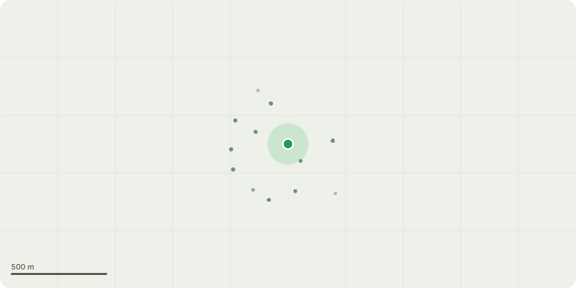
Approximate location
Proposal
Fell 13 no. trees to ground level, reasons as follows: T1: Douglas Fir - Grows very close to the Swamp Cypress, the preferred tree in the long term. Starting to die back in the upper crown and has a sparse canopy. Future growth will result in significant adverse impact on the adjacent garden and will also result in conflict with the canopies of existing trees. G1: 2 x Lawson Cyprus - Growing very close to the boundary fence with the potential to grow into the canopy of the Swamp Cypress, dominating the area. They also shade 2 x Acer trees that grow below. The removal of these trees will benefit neighbouring trees within the group which are all preferred trees in the long term. T2 & T3: Oaks - Low quality trees which are suppressed, growing up into the canopy of other trees which are the preferred trees in the long term. T4: Holly - Small tree of low quality T5: Scots Pine - This tree grows out into the garden and has 70% deadwood within the canopy. The removal of the deadwood will leave over extended branches and no decent pruning points to reduce back to due to a life of being suppressed in a shaded environment. Removal will set the canopy group further back and these trees are the preferred trees in the long term and will open up lower parts of the garden for shrub planting. T6: Lawson Cypress - Low quality tree, suppressed, growing up into the canopy of the Sweet Chestnut and Scots Pine which are both preferred trees in the long term. T7: Scots Pine - This tree has previously been topped and has a second branch which is now going up into the leader. It's a low quality tree which is suppressed, removal of this tree will benefit the Lime which is the preferred tree in the long term. T8: Lawson Cypress - Small tree growing up into the crown of a Lime tree. Removal will benefit the Lime tree which is the preferred tree in the long term. T9: Scots Pine - This tree is small and skinny with some bark damage at 1 metre, tree is low quality and grows up into the canopy of the larger trees. T10: Maritime Pine - Small tree covered in Ivy which is 90% dead with 10% of live growth in decline. Low quality and dangerous. T14: Cyprus - Tree works considered reasonable routine management, enabling the ongoing retention of the trees as a positive amenity feature to the area. Treeworks to considered reasonable routine management: T11: Maritime Pine - Removal of dead wood from the crown of the tree. T13: Swamp Cyprus - Removal of dead wood from the crown of the tree and crown lift/raise to provide a height clearance above ground level of 4m
Key dates
- Received 8 Sept 2021
- Started 8 Sept 2021
- Decided 26 Nov 2021
Planning history / related applications
No related planning applications have been identified in the current public OGL dataset.
Inside plotEdge
Go beyond the public record
This page is the public OGL record. plotEdge adds the private intelligence layer for this site - open it in the app to unlock:
- Ownership & title Registered owner and title from HM Land Registry.
- Viability & build potential Site scoring and development upside.
- Constraints Flood risk, green belt, conservation areas and designations.
- Approval signal Planning risk and approval-likelihood analysis.
- Comparable applications Decisions on similar nearby sites, side by side.
- Status alerts Get notified the moment this application changes.
Source: public planning application data from Bournemouth, Christchurch and Poole, reused under the Open Government Licence v3.0. View the council source record. Council documents and drawings are not republished on plotEdge.